It is important that you access this field trip on a laptop or desktop PC.
Click on any image to enlarge it - you will need to zoom in to see sufficient detail.
Where are we? There are several places in France with this name ("Living Waters"). This one lies 20 km east of the city of Carcassonne. Take a good look around the area in Google Maps . There's a lot to see and do at this location, and we usually spend a whole morning or afternoon here. There is plenty of exposure in natural outcrops, vineyards, road cuts and disused quarries.
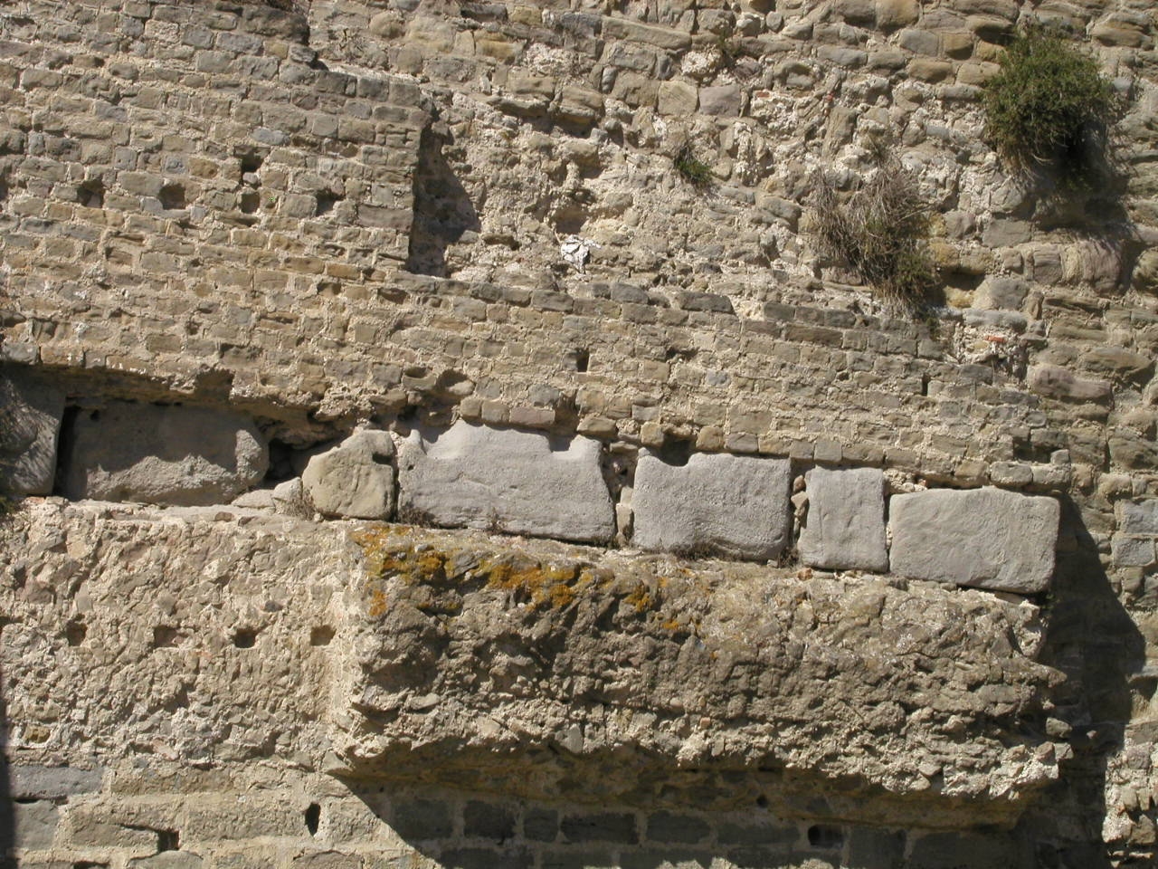
Stratigraphy: The rocks here all belong to a lithostratigraphical unit called the Molasse de Carcassonne (e4-6 on the published geological map). They date to the Lutetian Stage of the Eocene. They are part of the fill of the Aquitaine-Languedoc Foreland Basin, to the north of the Pyrenean mountain belt.
Tasks: the main task here is to determine the relationships between the coarser sedimentary rocks which form low ridges throughout the area, and the finer sediments dominated by vineyards and other crops. Note that the shapes of the ridges have often been modified by natural collapse, quarrying, or at the edges of vineyards. The online geological map shows the general distribution of the ridges (dotted) within the outcrop area of e4-6.
The photos are your outcrops, and you'll need to spend time studying them in detail, and working out the relationships between them.
|
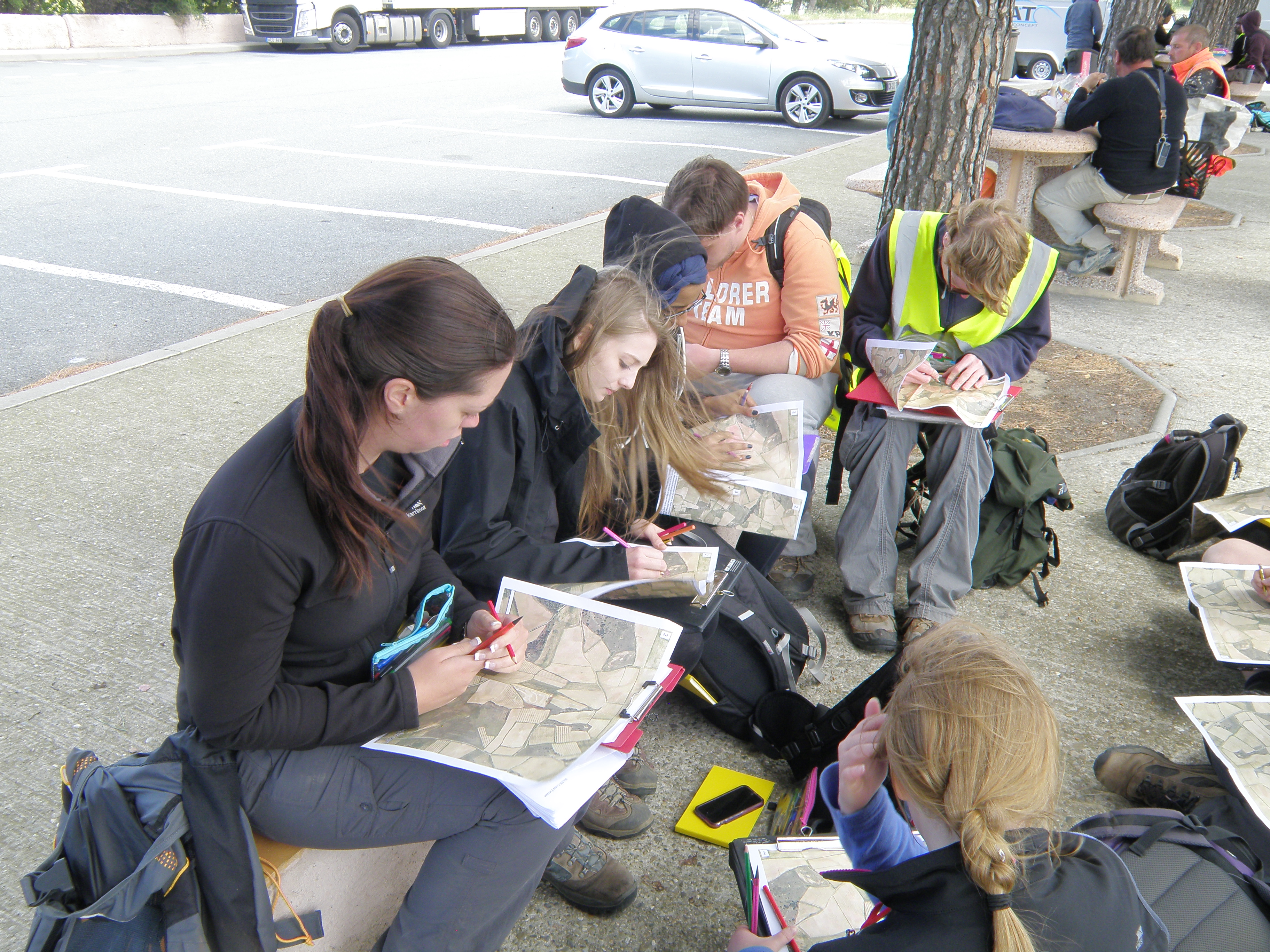
University of Derby student
teams compiling their |
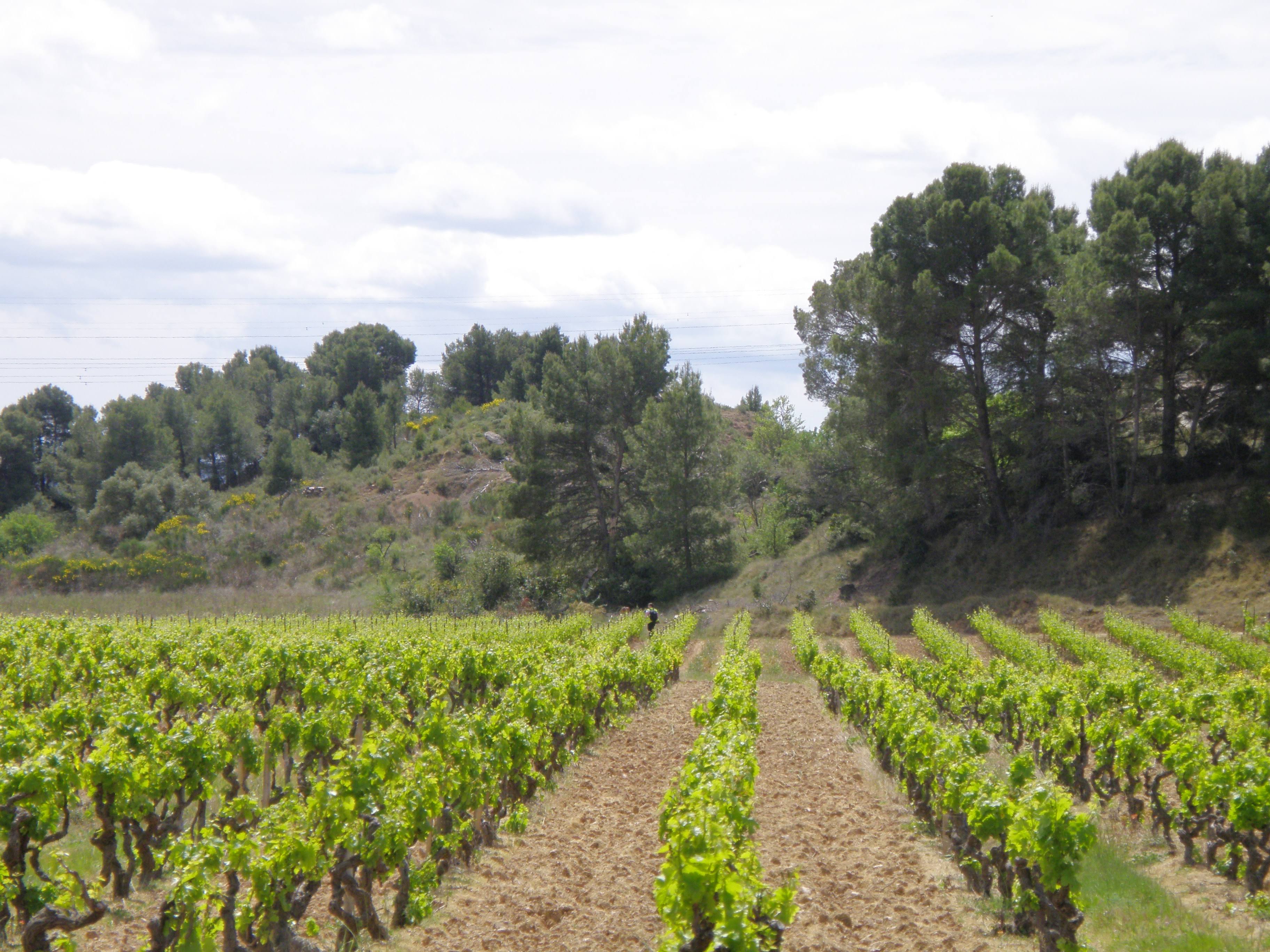
View north across the Aigues-Vives area, showing vineyards growing on soils developed on the softer rock types, with wooded ridges of the harder lithologies in the middle distance. In the background is the Palaeozoic Massif of the Montagne Noire: its southern edge defines the northern margin of the Aquitaine-Languedoc Foreland Basin. The contact between the Montagne Noire foreland and the basin is usually a major angular unconformity; in places it is is faulted: see the online geological map. |
 |
![]()
The area to be studied is shown in the Google Earth Web field trip. Click on the Present button, then use the arrow keys to proceed through the field trip, like a slide show. Use the links to get to the web pages for each locality. You can also access the localities from the Table Of Contents.
You can also see the study area in this view of Google Maps: ignore the area of flat fields east of the village, which is the dried-out lake bed of the Etang de Marseillette. In the west, the boundary of the study area is a north-south line through the Château de Bonhomme (large house, not named on the map, just to the west of the Ruisseau du Puits label).
You can explore the locations around
Aigues-Vives in Streetview, which extends even down some of the minor vineyard
roads: click and hold the person icon ![]() ,
and the roads with views available will be shown in blue. Click anywhere on
one of these roads to open the 360° view. Even distant views can be useful.
Relevant photographs may also be available - click the photos icon to the right
of the person.
,
and the roads with views available will be shown in blue. Click anywhere on
one of these roads to open the 360° view. Even distant views can be useful.
Relevant photographs may also be available - click the photos icon to the right
of the person.
At each location, pay particular attention to field relationships - contacts between units, how units change as you trace them laterally, etc.
Specific locations with outcrop photos should be accessed via links in the Google Earth Web field trip (link above), so you can see how they are related to each other. Six of these locations are around Aigues-Vives; the other three are nearby. If you have problems with the Google Earth interface, the localities can also be accessed here:
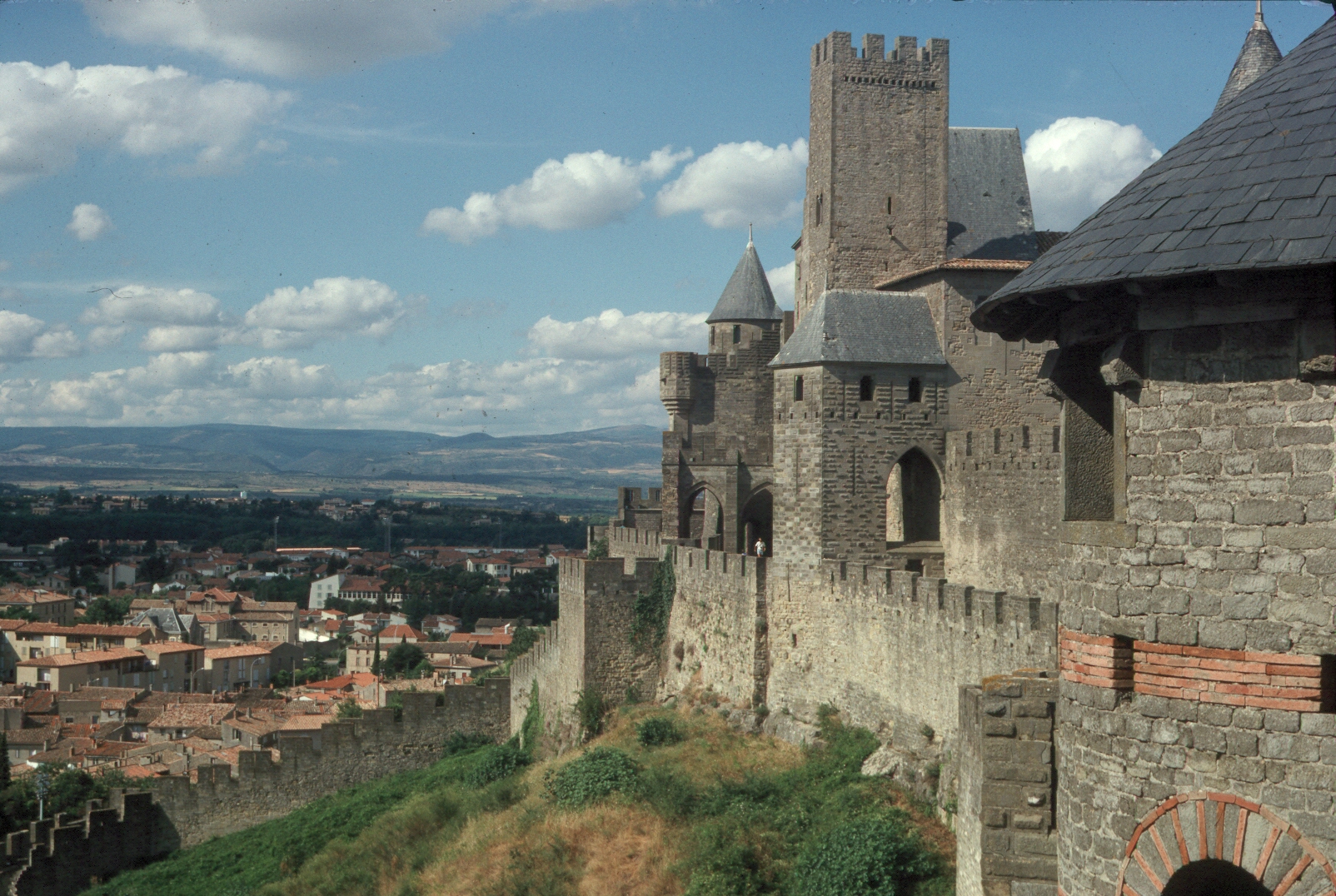
Building stone: the fortified city of Carcassonne (La Cité) was built of stone quarried from the ridges in this area - from many small quarries rather than one large one, as the outcrops of building stone are of limited extent. Many towns and villages across the region have used the same building stone. The oldest parts of the Cité date from Roman times; it was held later by the Visigoths, the Saracens, the Franks...and fell into decline from the 17th century. It was saved and restored (not entirely authentically) in the 19th century. Explore in Google Maps and Streetview.
La Cité has often been used as a film set, and is one of the most visited tourist attractions in France. History of Carcassonne.
 |
 |
 |
Soils and viticulture: the major crop around Aigues-Vives is grapes, from vineyards grown for wine production. This is part of the Minervois wine region.
 |
The vineyards in spring |
 |
 |
|
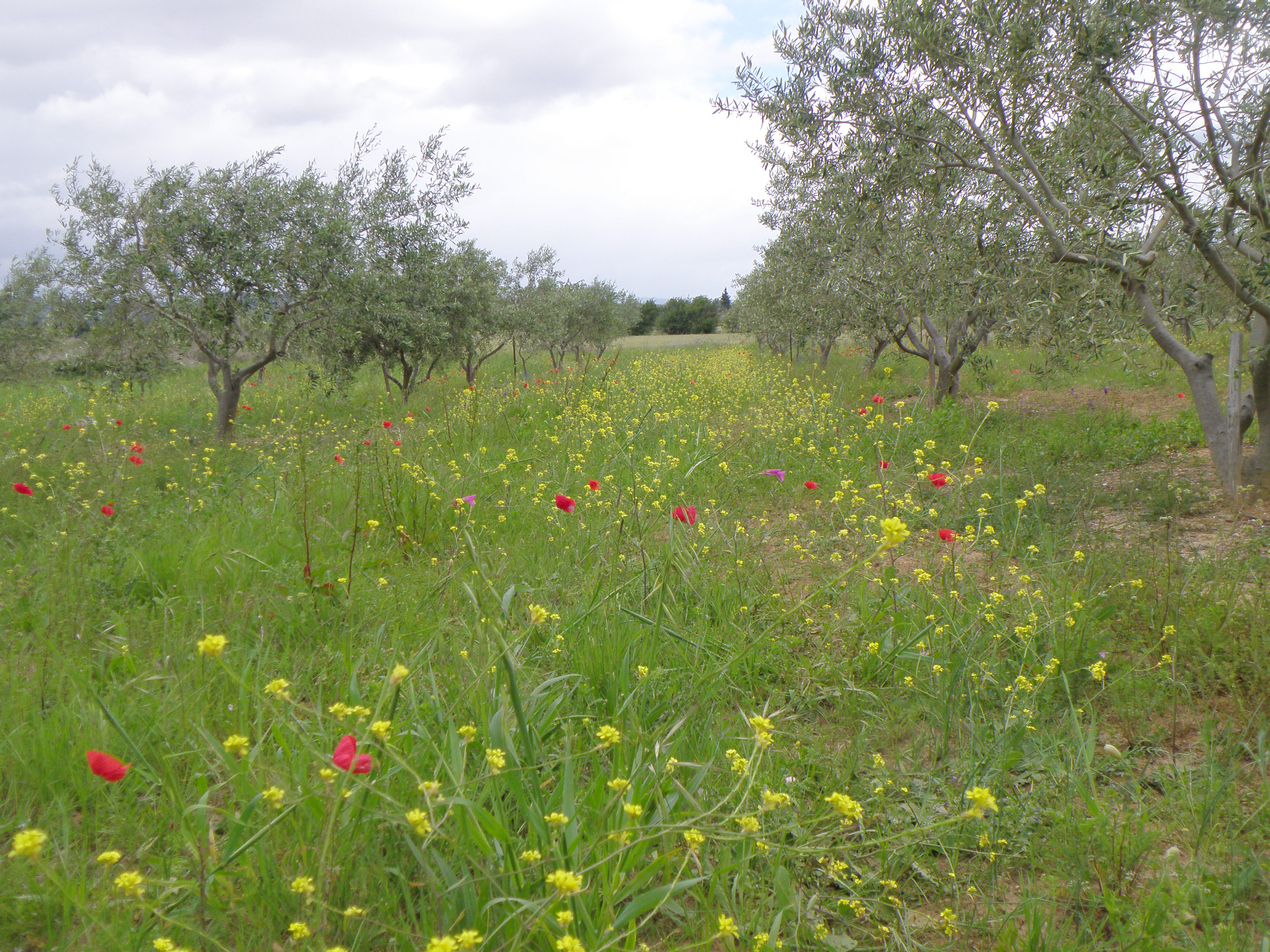
Olives are another Mediterranean crop. Many producers take their olives to the local co-operative L'Oulibo, to be preserved or made into olive oil. Here the ground under the olive trees is carpeted with spring wild flowers. |
![]()
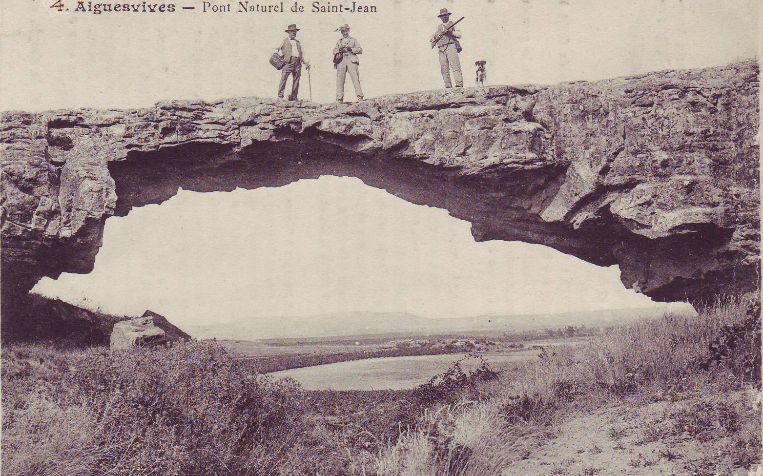 Public domain image. The outcrop at location AV03
was a 'natural bridge' Information from archmillenium.net.
This site contains photos |
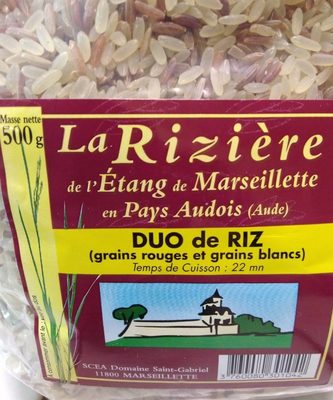
Part of the large dried-up lake (Etang de Marseillette) to the east of Aigues-Vives is used for growing rice using the paddy system. Rice is an unusual crop in this region - but it is grown on a larger scale further east in the Camargue, the wetlands of the Rhône delta. Several types of rice are produced at Marseillette, and it is all excellent: this is one of the local products I like to stock up with when I'm doing fieldwork in the area.
|
![]()
Make sure you've completed all the work for this locality. Now we can get back on the virtual coach and head off to our next stop. Or return to the field trip home page.
![]()
This page is maintained by Roger Suthren. Last updated 11 May, 2021 9:01 AM . All images © Roger Suthren unless otherwise stated. Images may be re-used for non-commercial purposes.