It is important that you access this location on a laptop or desktop PC.
Click on any image to enlarge it - you will need to zoom in to see sufficient detail.
The photos are your outcrops, and you'll need to spend time studying them in detail, and working out the relationships between them.
![]()
This location explores ridges and old quarries east of the D135 road, and about 1km northwest of the village of Rustiques. Explore the location in Google Maps. Note and describe the form of the ridges here - a sketch map would be a useful addition to your notes.
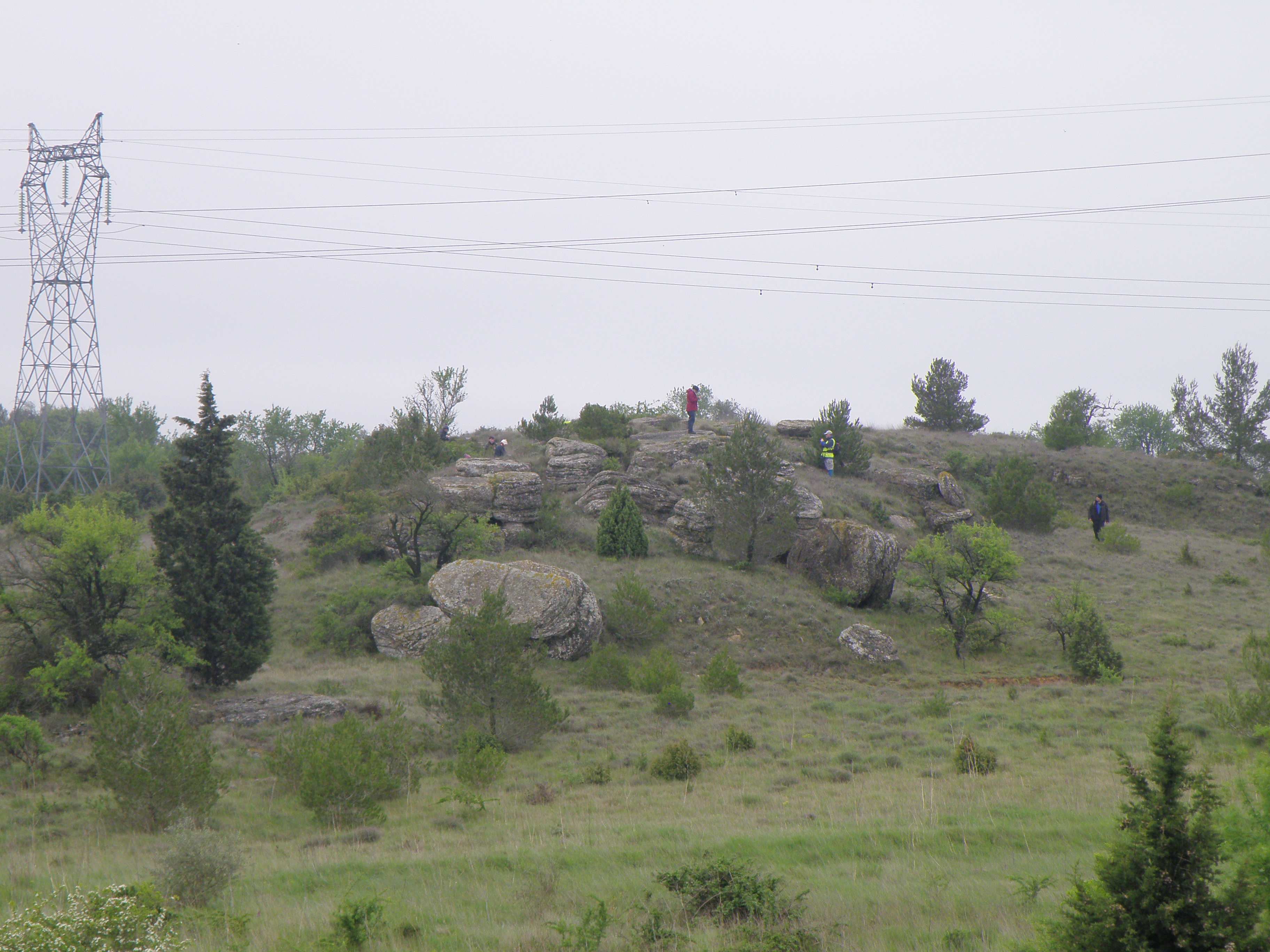 Figure 7.1. General view of ridges, looking east. |
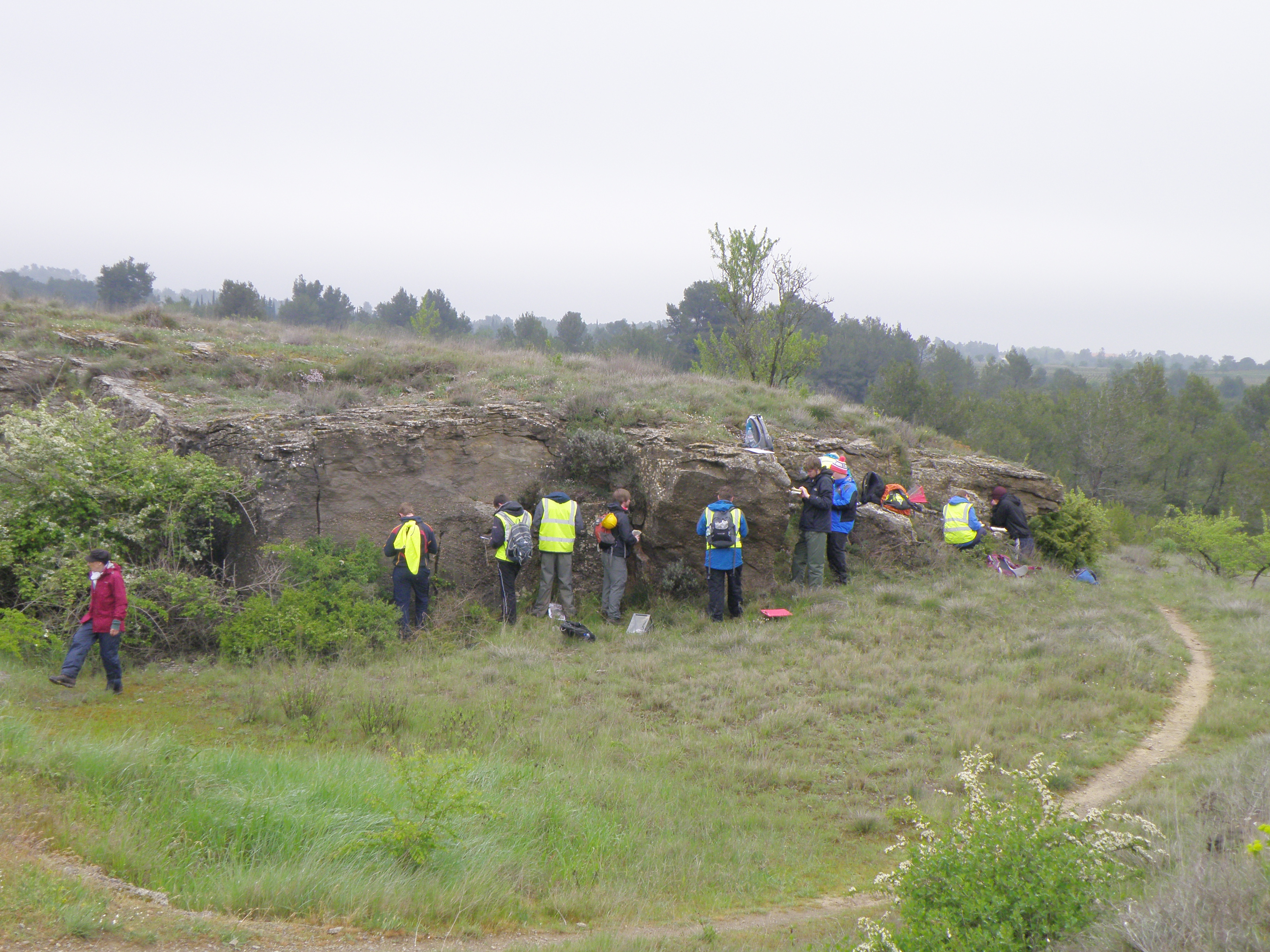 Figure 7.2. Quarry face in the area shown in the previous figure. |
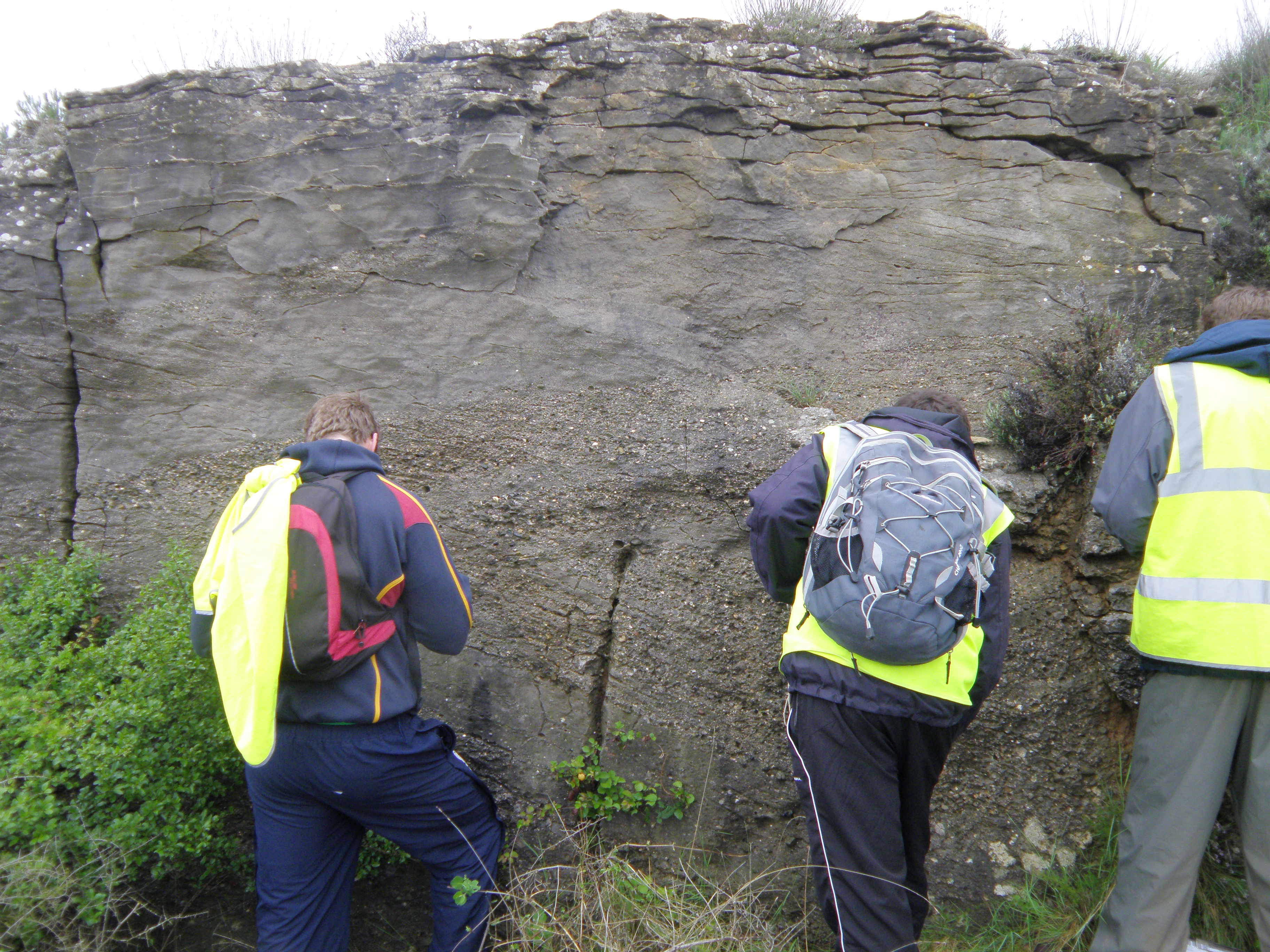 Figure 7.3. Detail of the outcrop in Figure 7.2 Note any changes in lithology and structures within the outcrop. |
![]()
Make sure you've completed all the work for this locality. Now continue your investigations, or return to the Aigues-Vives home page.
![]()
This page is maintained by Roger Suthren. Last updated 10 May, 2021 5:00 PM . All images © Roger Suthren unless otherwise stated. Images may be re-used for non-commercial purposes.