It is important that you access this location on a laptop or desktop PC.
Click on any image to enlarge it - you will need to zoom in to see sufficient detail.
The photos are your outcrops, and you'll need to spend time studying them in detail, and working out the relationships between them.
![]()
This location is just south of the village of Aigues-Vives, along the D57 road. A harder lithology forms a ridge immediately west of the road. Explore the location in Google Maps.
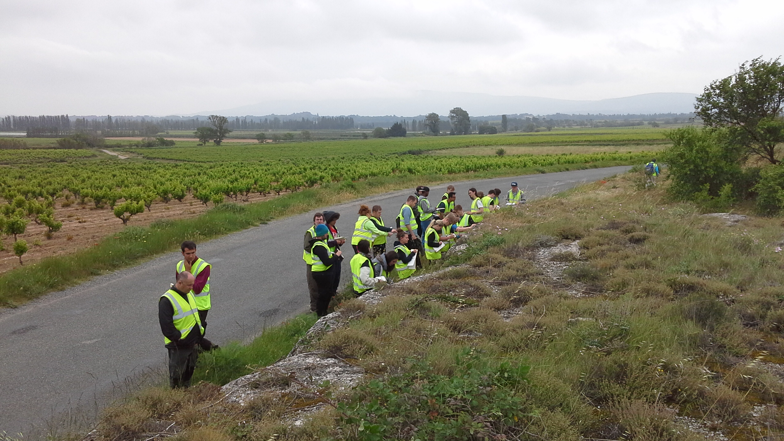
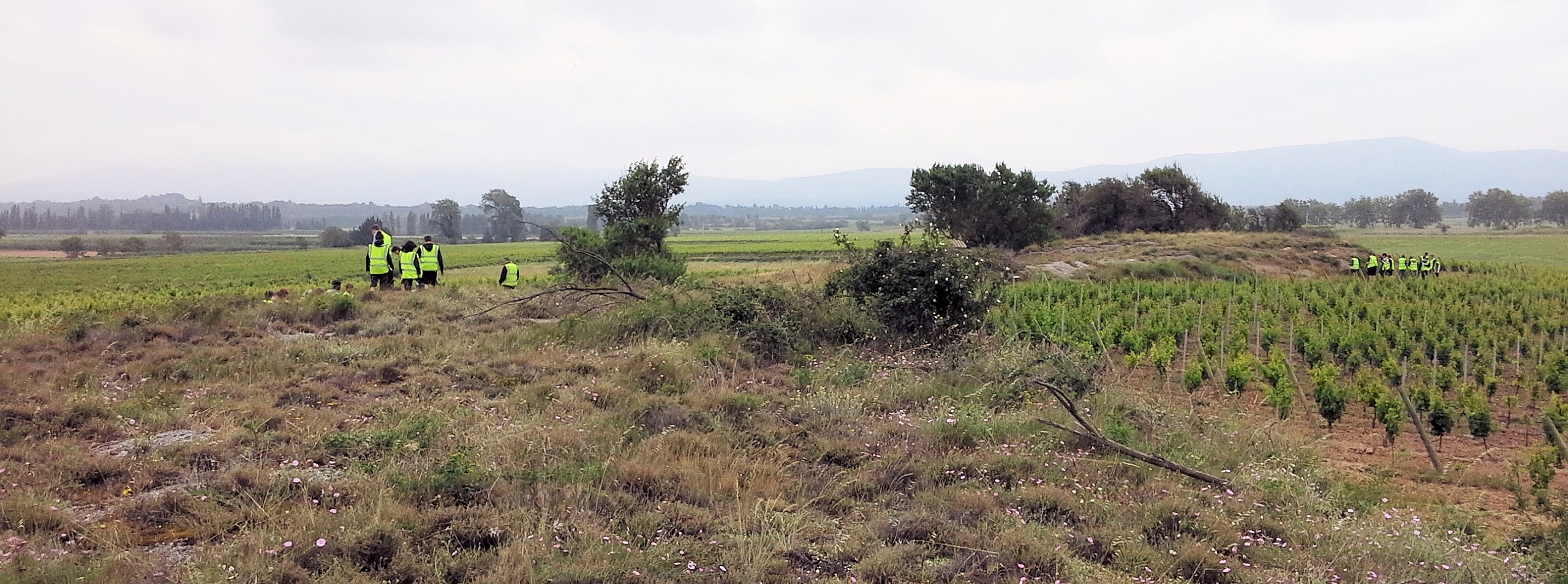 Figure 1.1. View looking south. The road is out of site behind the geologists on the left. Note the shape of the ridge, and estimate its height above the softer lithology underlying the vineyards.
|
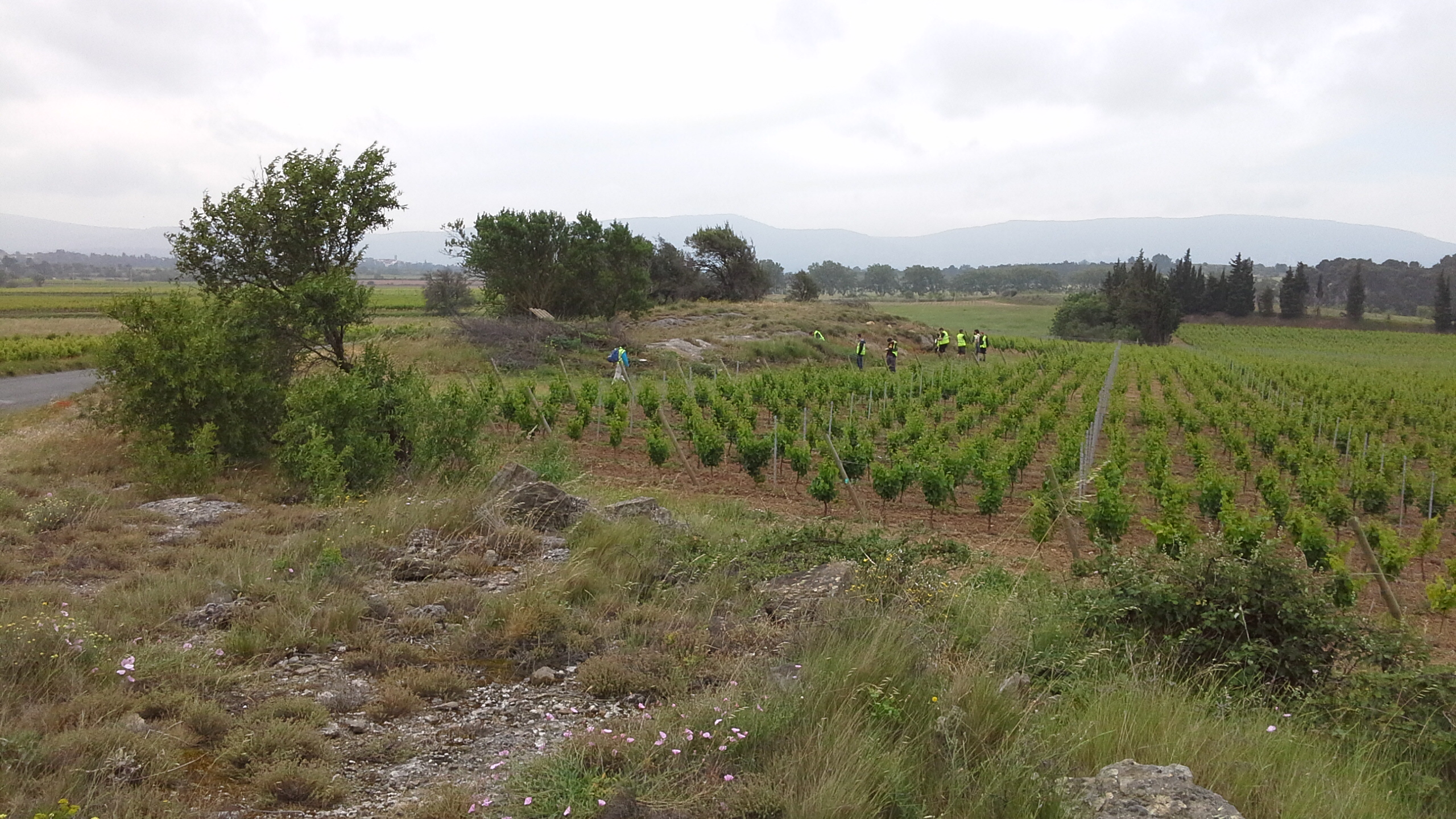 Figure 1.2. A close-up of part of Figure 1.1. To the south is the Montagne d'Alaric ridge in the Corbières hills, where the rocks of the southern part of the foreland basin are involved in fold-thrust tectonics |
|
|
|
 Figure 1.4. Outcrop of the east side of the ridge, along the road. The basal contact lies under the overhang, hidden by vegetation. |
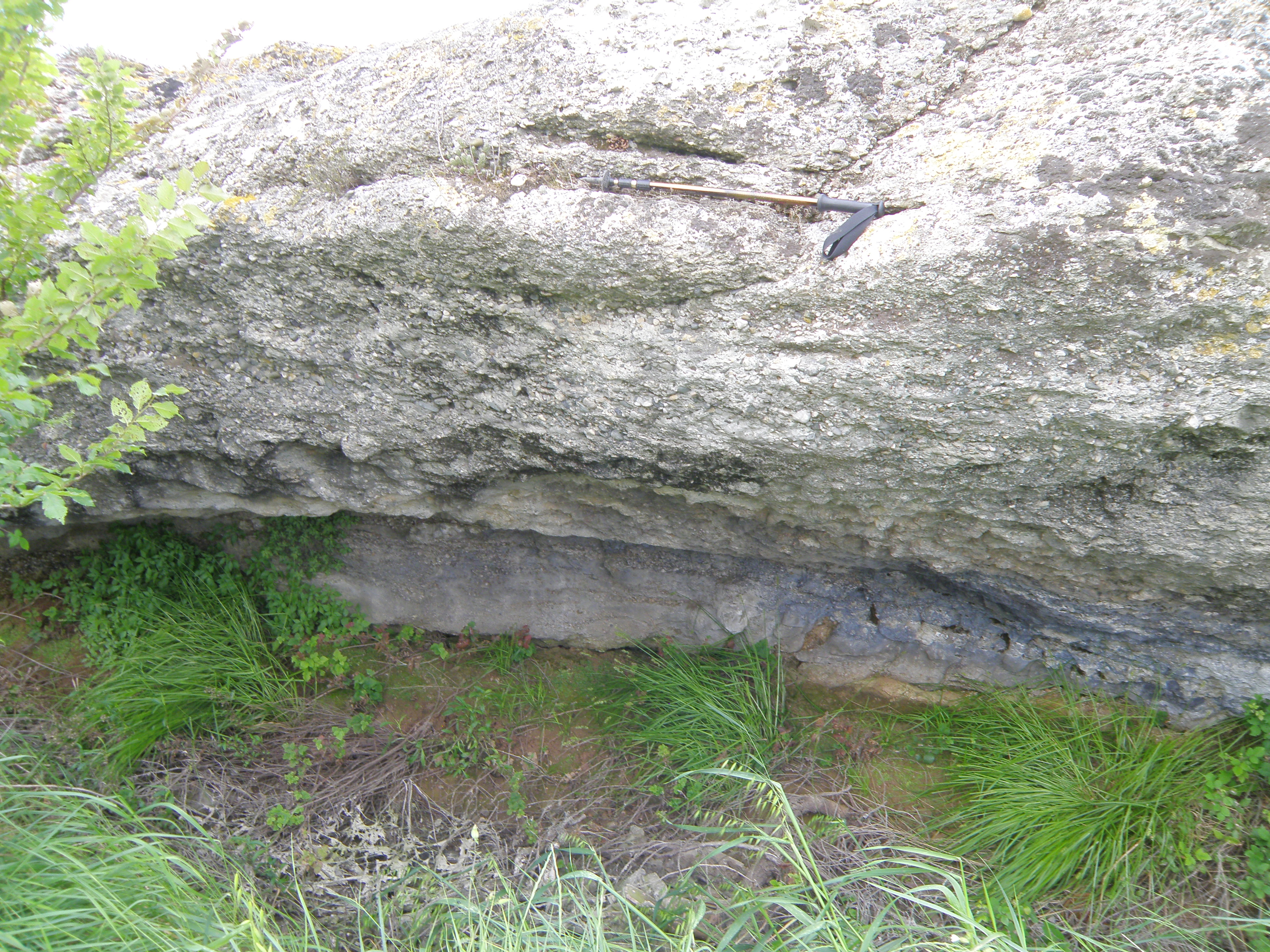 Figure 1.5. Basal contact of the rock unit forming the ridge. Note the softer underlying lithology. Pole is ~ 1 metre long. |
Make sure you've completed all the work for this locality. Now continue your investigations, or return to the Aigues-Vives home page.
![]()
This page is maintained by Roger Suthren. Last updated 11 May, 2021 9:06 AM . All images © Roger Suthren unless otherwise stated. Images may be re-used for non-commercial purposes.