It is important that you access this location on a laptop or desktop PC.
Click on any image to enlarge it - you will need to zoom in to see sufficient detail.
The photos are your outcrops, and you'll need to spend time studying them in detail, and working out the relationships between them.
![]()
This location is in the track on the north side of the cemetery, just north of the village of Aigues-Vives. Explore the location in Google Maps. The outcrop is not visible in Streetview. Follow and describe the feature on which the cemetery sits.
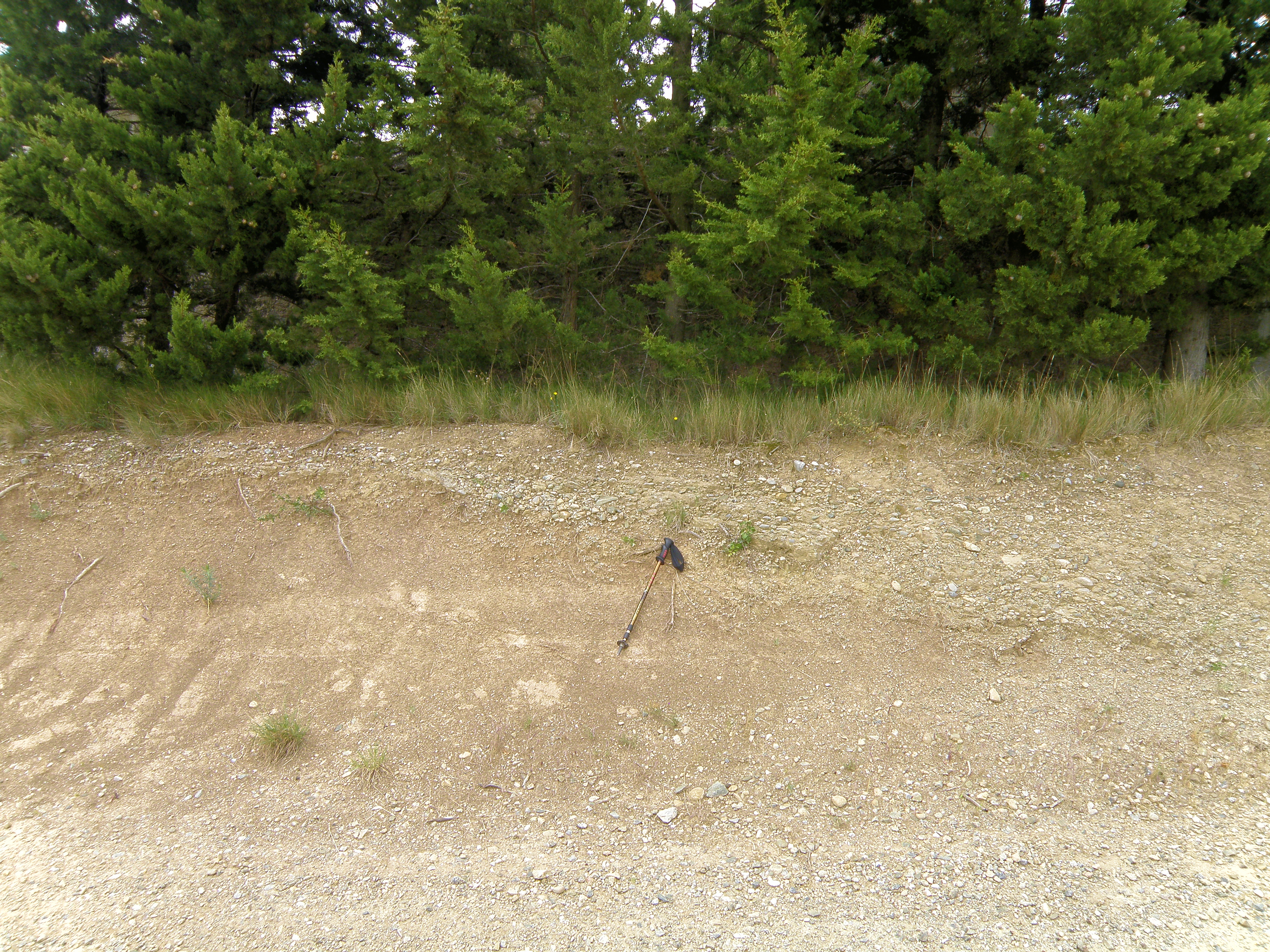 Figure 6.1. Pole is ~ 1m long. Contact between the rock unit forming the ridge and the underlying, softer lithology. |
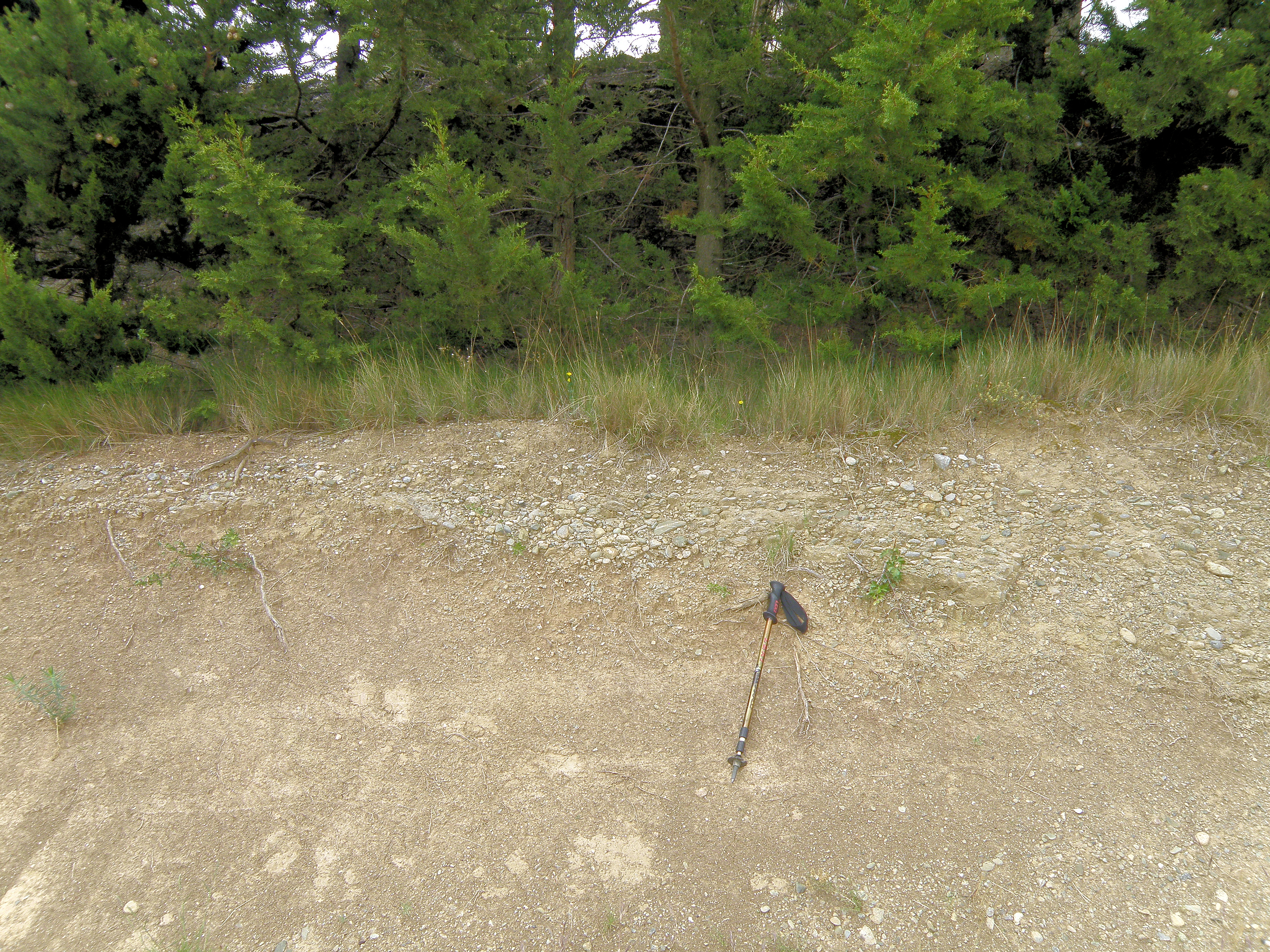 Figure 6.2. Closer view of Figure 6.1. |
Make sure you've completed all the work for this locality. Now continue your investigations, or return to the Aigues-Vives home page.
![]()
This page is maintained by Roger Suthren. Last updated 10 May, 2021 4:44 PM . All images © Roger Suthren unless otherwise stated. Images may be re-used for non-commercial purposes.