It is important that you access this location on a laptop or desktop PC.
Click on any image to enlarge it - you will need to zoom in to see sufficient detail.
The photos are your outcrops, and you'll need to spend time studying them in detail, and working out the relationships between them.
![]()
This location is a road cutting on the west side of the D57, 800m north of the Mairie (Town Hall). Explore the location in Google Maps and Streetview. Describe the overall form of the outcrop.
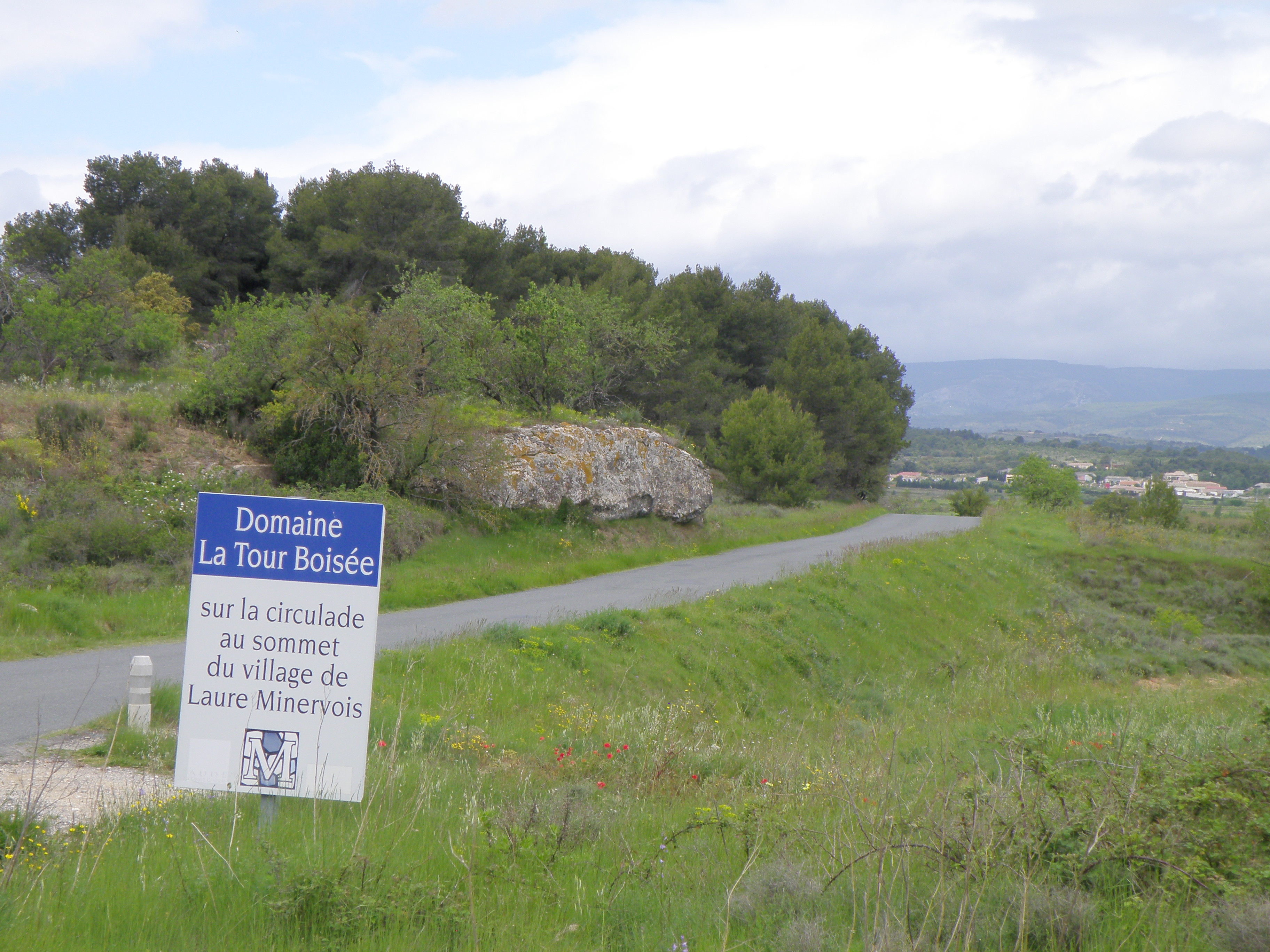 Figure 4.1. View of the road cut, looking north. |
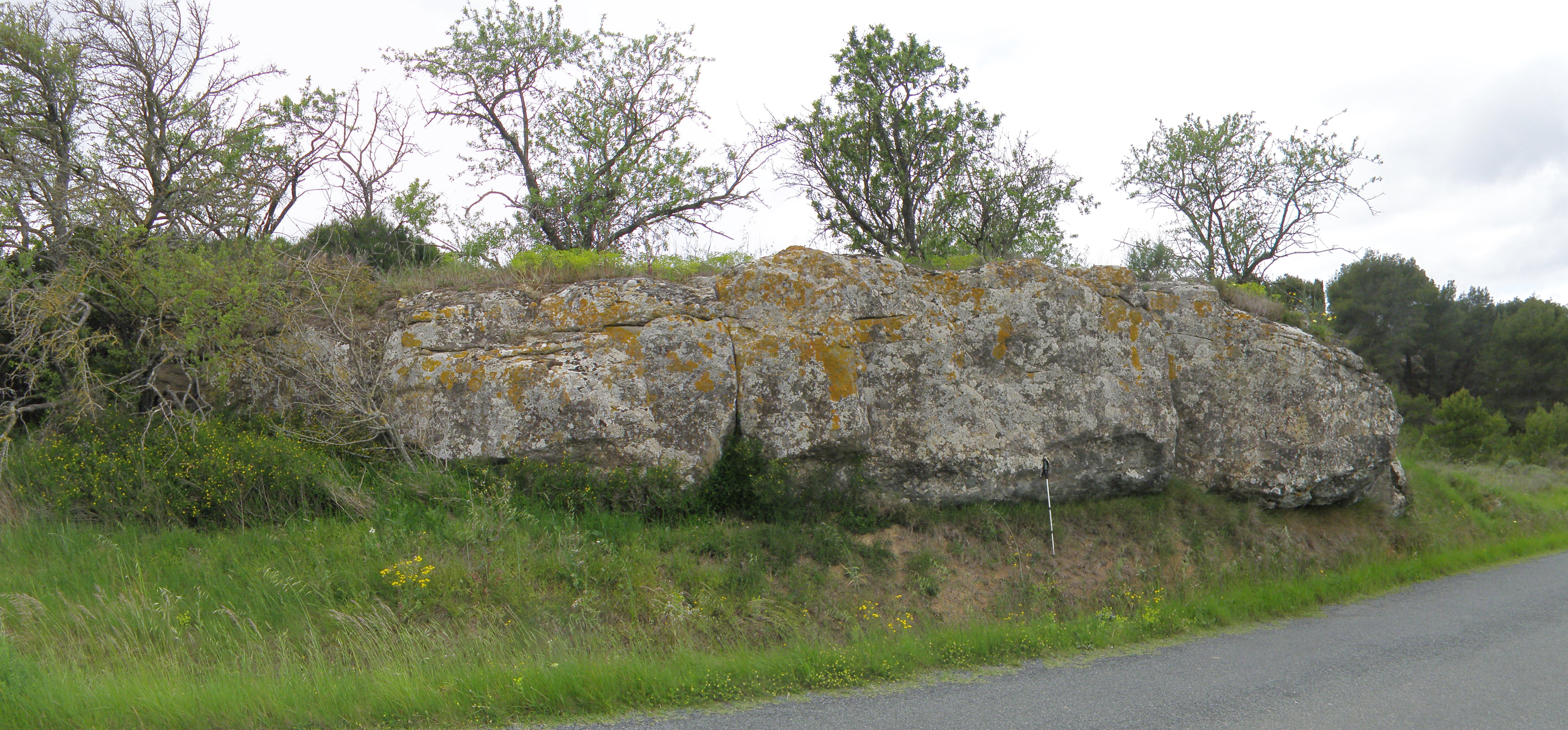 Figure 4.2. Closer view of the road cut. |
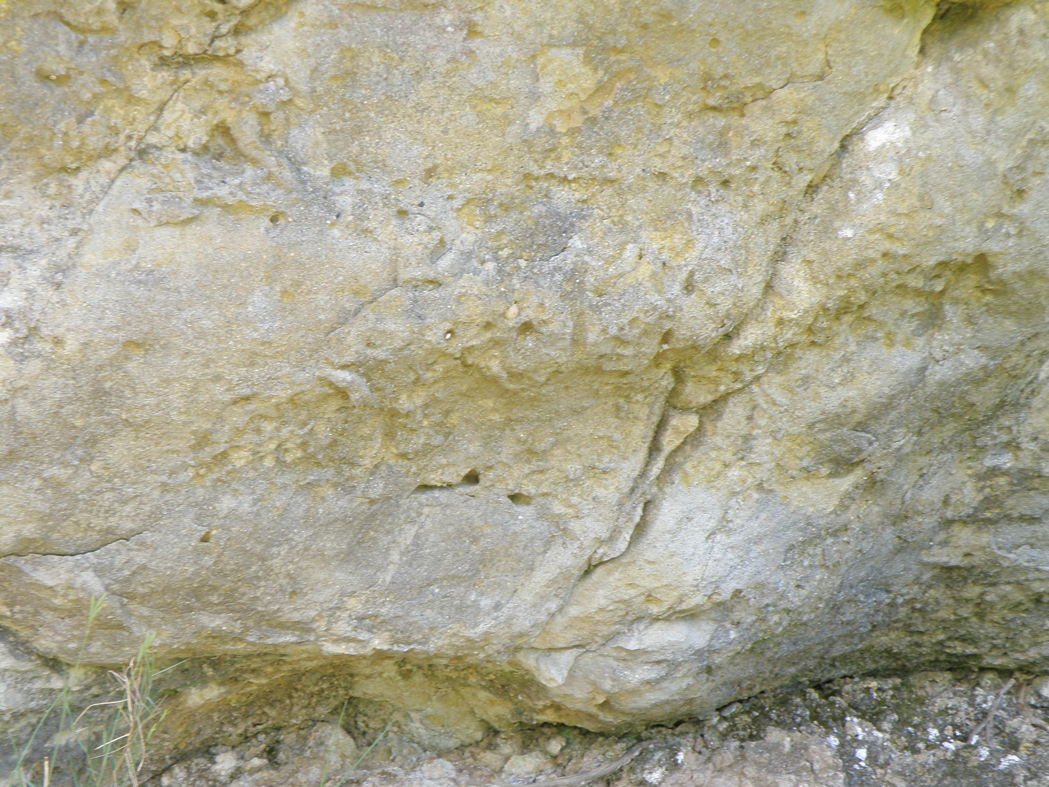 Figure 4.3. Close-up of the basal contact. What are the roughly cylindrical features within the sandstone? |
Make sure you've completed all the work for this locality. Now continue your investigations, or return to the Aigues-Vives home page.
![]()
This page is maintained by Roger Suthren. Last updated 10 May, 2021 4:08 PM . All images © Roger Suthren unless otherwise stated. Images may be re-used for non-commercial purposes.