|
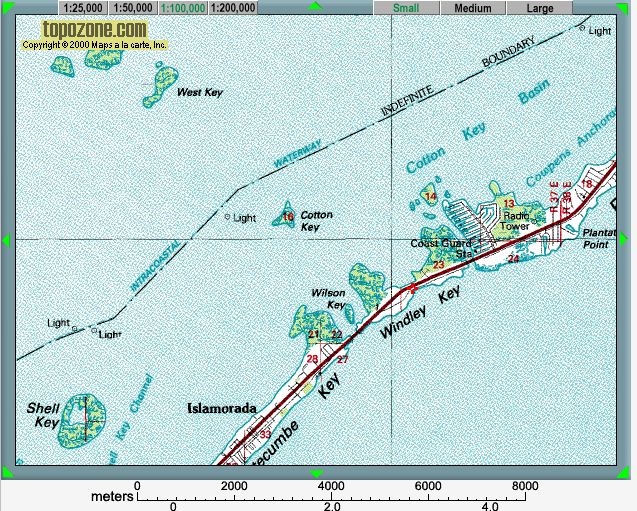
| Map provided courtesy of TopoZone.com
|
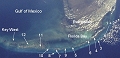 |
Location map - click to enlarge |
The quarries on Windley Key exploited Pleistocene reef limestones, and were used to build Flagler's Overseas Railroad along the Keys to Key West.
The thumbnail images below link to larger versions of the images, with additional information and exercises. Key images are highlighted with a red border; you should also take the time to study the other images, to see different aspects of this location.

|

|

|
 |

|

|

|
 |

|

|

|

|

|

|

|
|
|
|
|
|
|
|
|