|
| Map provided courtesy of TopoZone.com
|
 |
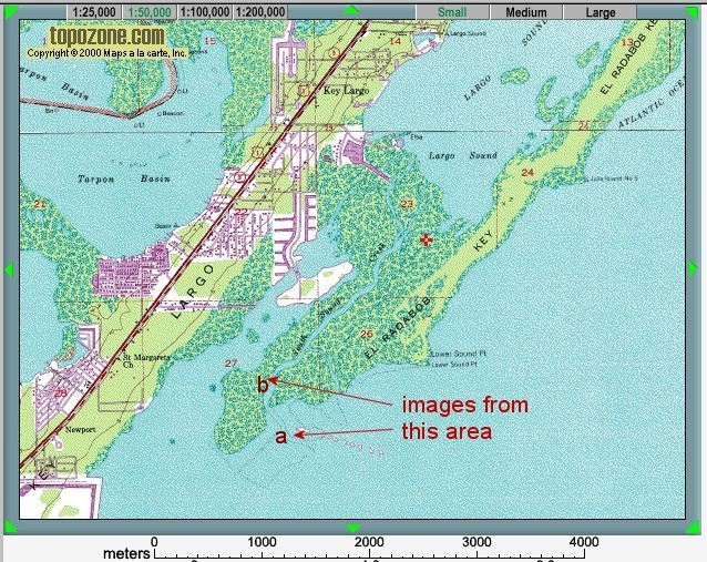
Location map - click to enlarge |
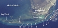
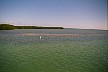
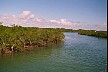
The thumbnail images below link to larger versions of the images, with additional information and exercises. Key images are highlighted with a red border; you should also take the time to study the other images, to see different aspects of this location.
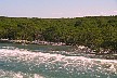
These images show part of the ocean-facing south coast of the Upper Keys. It is a tranistion zone from the gnerally low energy back-reef lagoon, to the lowlying Pleistocene limestone islands of the Keys. The transition is occupied by a complex of mangrove swamps, tidal channels (creeks) and carbonate mud flats.
|
|
 |
|
|
|
|
|
|
|
|