MAPPING IN SOUTHERN FRANCE |
The images below should give you a general impression of the geology and terrain of the mapping areas.
|
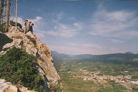
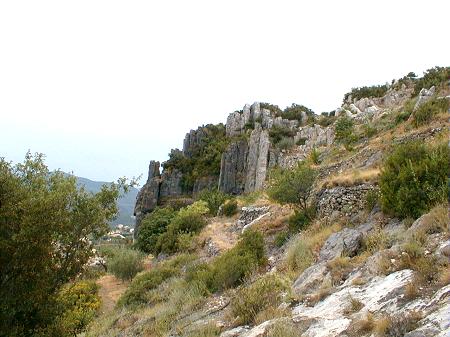
Mesozoic limestone ridges and Fenouillet valley, Massif d'Agly areas, Roussillon. |
|
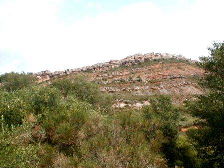
Upper Cretaceous to lower Tertiary sedimentary rocks, Albas, Corbières. |
|
Upper Cretaceous to lower Tertiary sedimentary rocks, Albas, Corbières. |
|
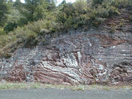
Strongly deformed Triassic evaporites, Durban-Corbières. |
|
Devonian limestones, Roquebrun, Montagne Noire. |
|
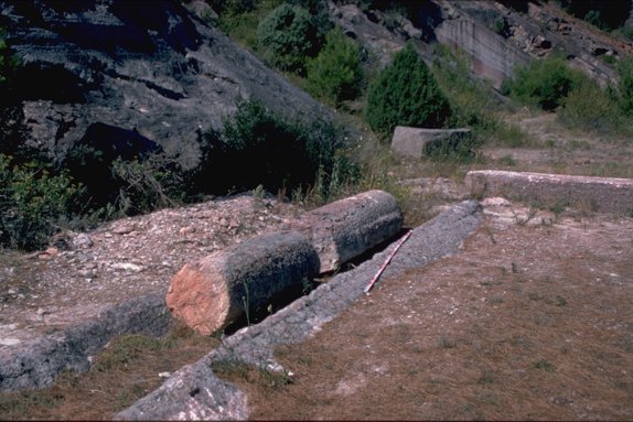
Quarries in Devonian 'marble', Caunes-Minervois |
|
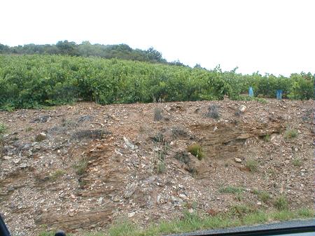
Ordovician mudrocks exposed in roadcuts and vineyards, Berlou, Montagne Noire |
|
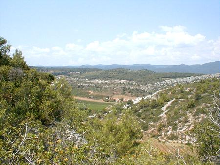
Folded and thrust Cretaceous to Tertiary limestone ridges, St. Chinian. In the distance, to the north, is the Palaeozoic massif of the Montagne Noire. |
|
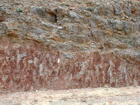
Mottled palaeosol in the St. Chinian area. Similar features are found throughout the region in upper Cretaceous and early Tertiary sedimentary rocks. |
|
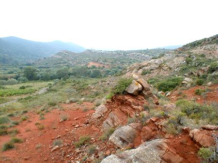
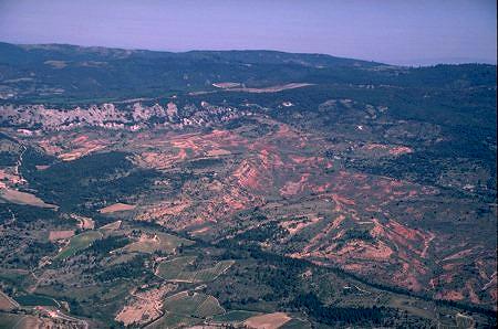
View of the upper Cretaceous to lower Tertiary sedimentary rocks of the Arques area, Corbières. |
| France mapping home page |
This page is maintained by
Last Modified: