It is important that you access this field trip on a laptop or desktop PC. Click on any image to enlarge it.
At this location, we will study some interesting sections through Westphalian (Upper Carboniferous) strata. Explore the area in Google Maps.
 |
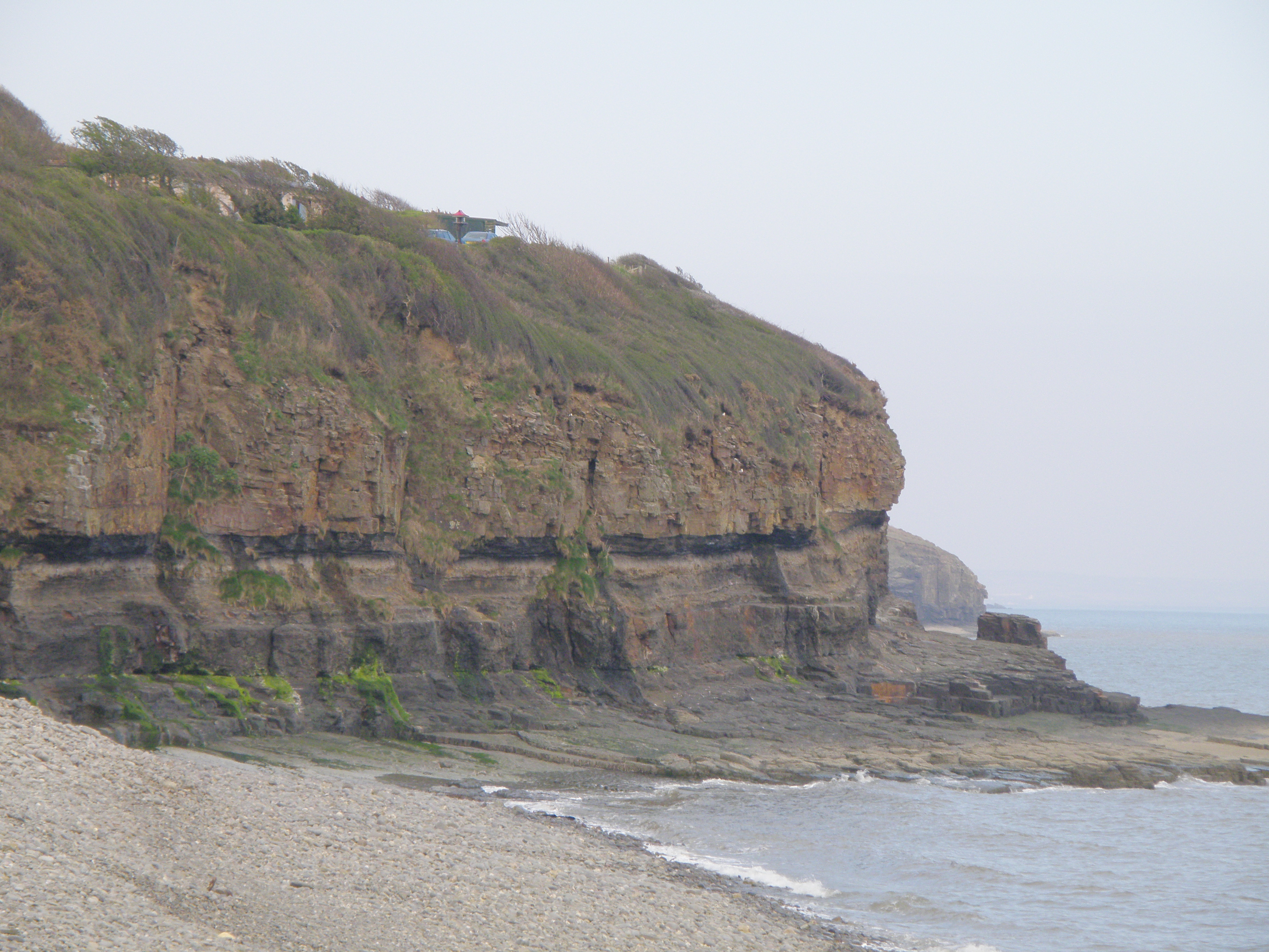
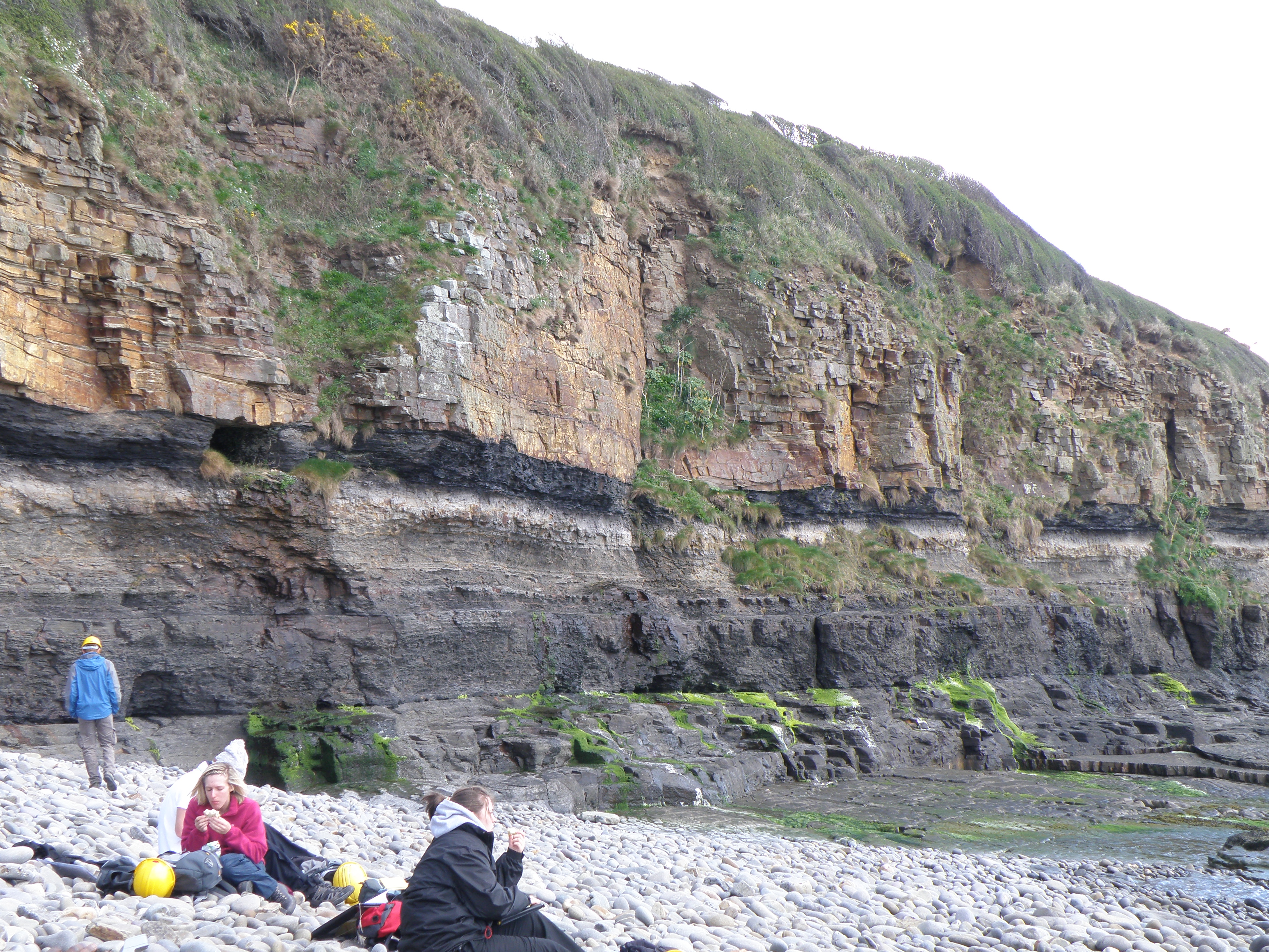
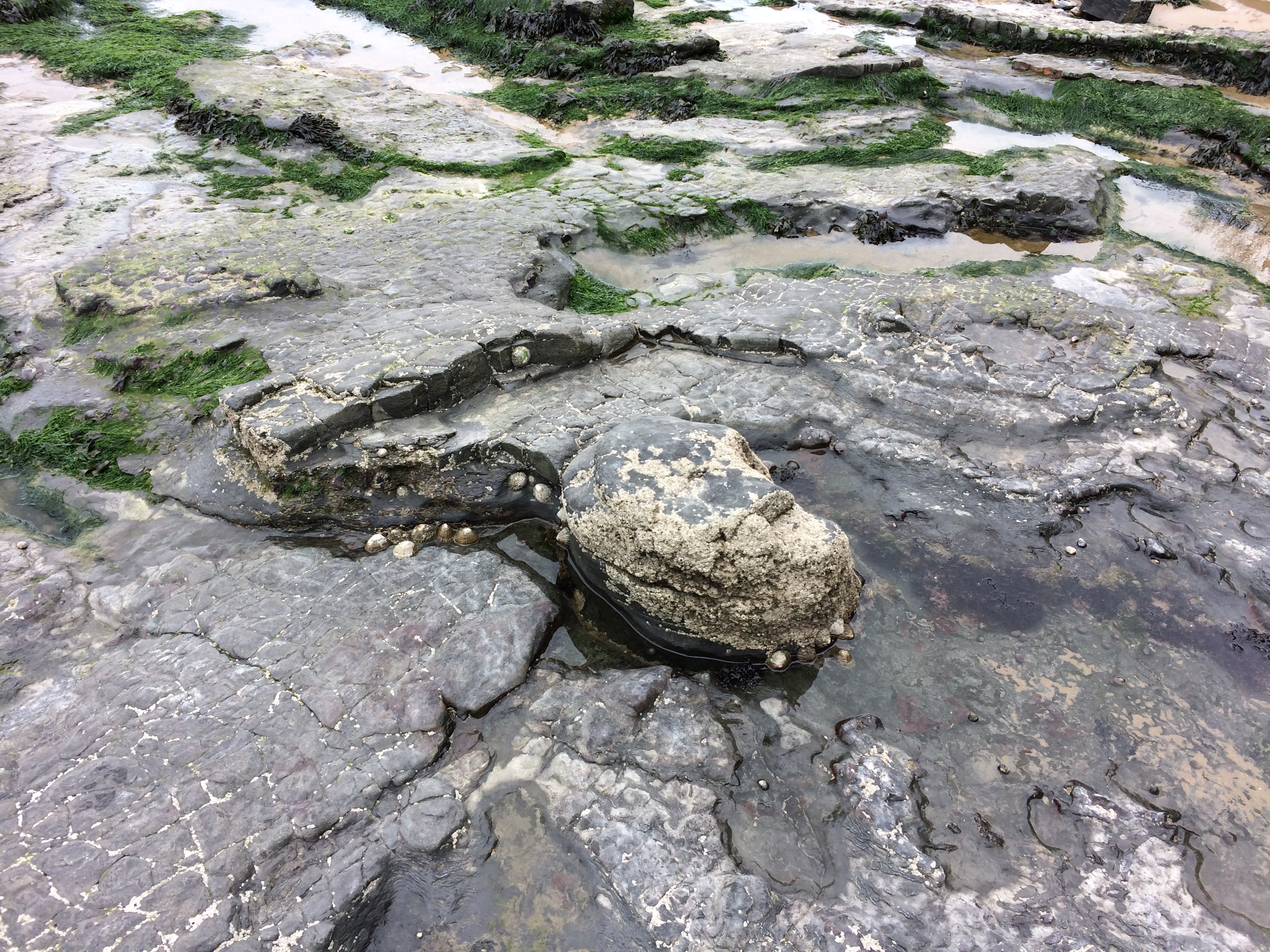
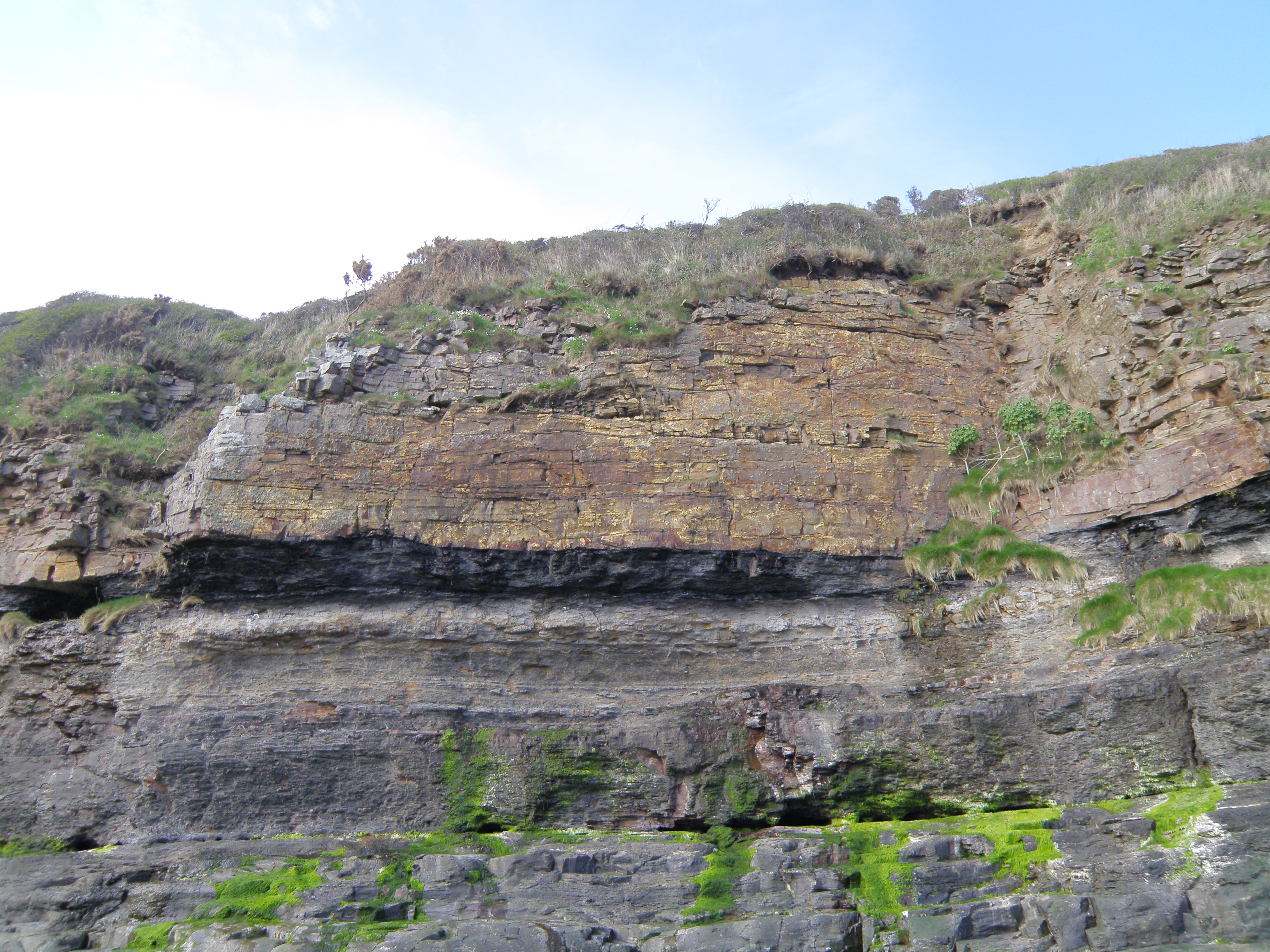
| A. General view of
the Westphalian strata at Saundersfoot, west of Amroth. The Amroth and Telpyn
Point sections are in the background. |
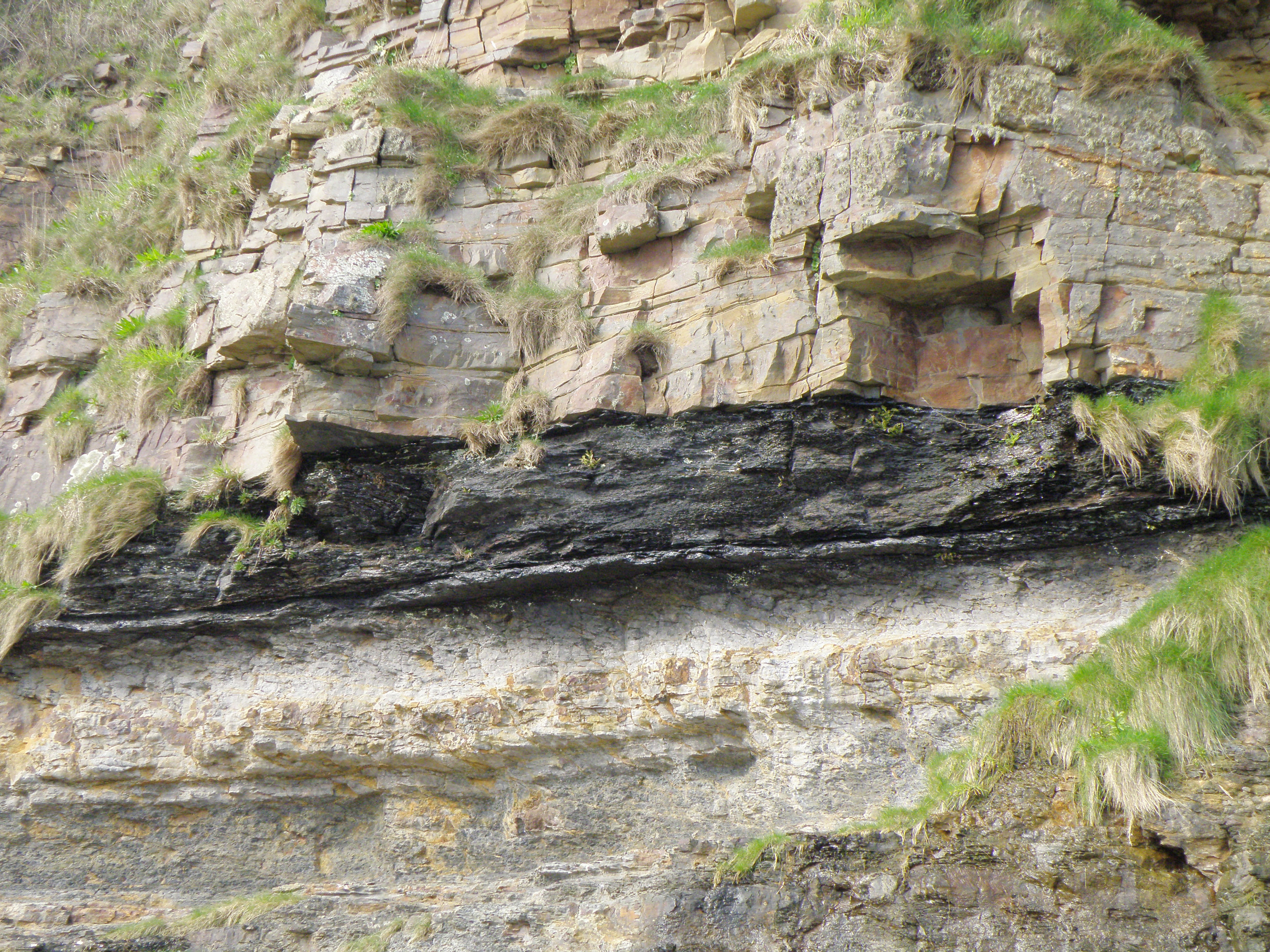
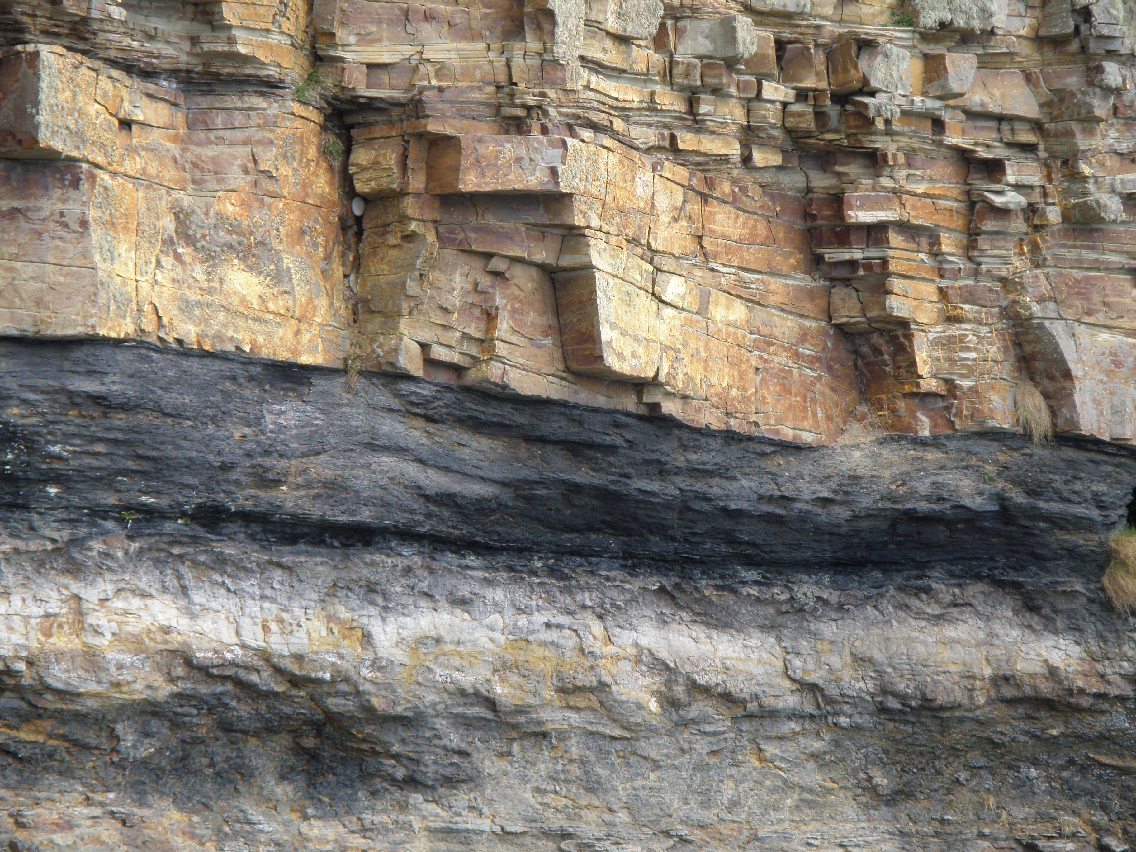
There is excellent exposure of the
Coal Measures along the coast for several km from east of Amroth towards Tenby.
Some of it shows complex Variscan folding and thrusting, but there are good,
relatively undeformed sections on the long limbs of major folds.
The aim of visiting this location is to become familiar with Upper Carboniferous sedimentary sequences, in preparation for the exercise at Location 4.2. As always, you should collect and synthesize information of a range of different types - lithology, thickness and geometry of sedimentary units, sedimentary structures and palaeocurrents, fossils and trace fossils (or absence thereof), lateral and vertical changes etc. From these observations, you should be able to attempt interpretations of the processes and environments involved in the formation of the section. You have seen a similar section in a practical earlier this semester.
Identifying and interpreting sedimentary structures and features is an important part of this exercise.
Handout: refer to the handout for today, which contains essential diagrams and information. Don't forget to use the information in the Field Guide too.
Tasks: See today's handout, and the photo captions.
I thank Huw Williams and Paul Davies of Reservoir Geology Consultants for their company during many visits to these and other sections along the Pembrokeshire coast. I have learned a lot!
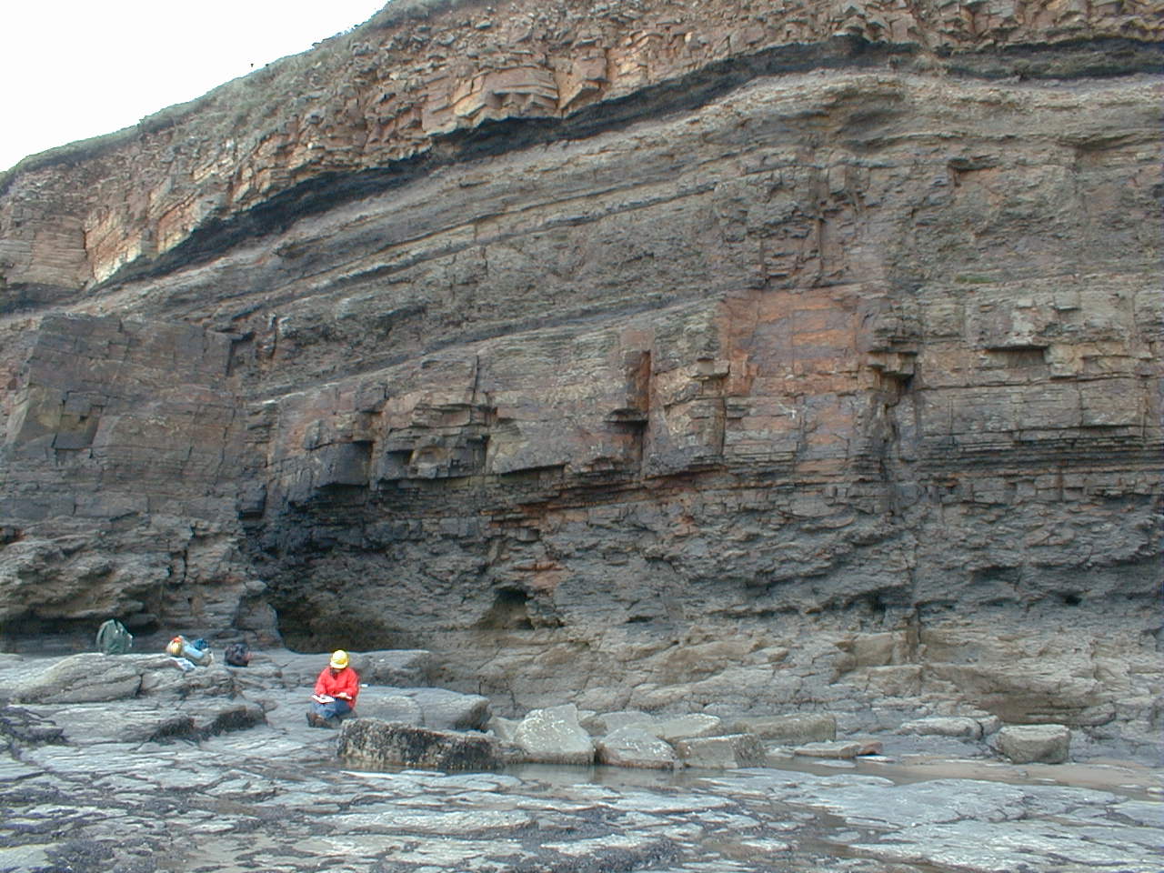
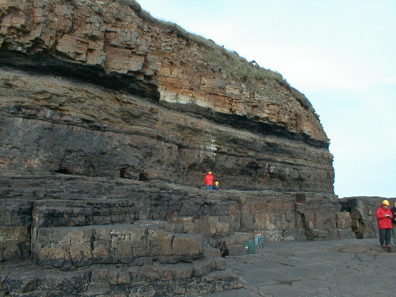
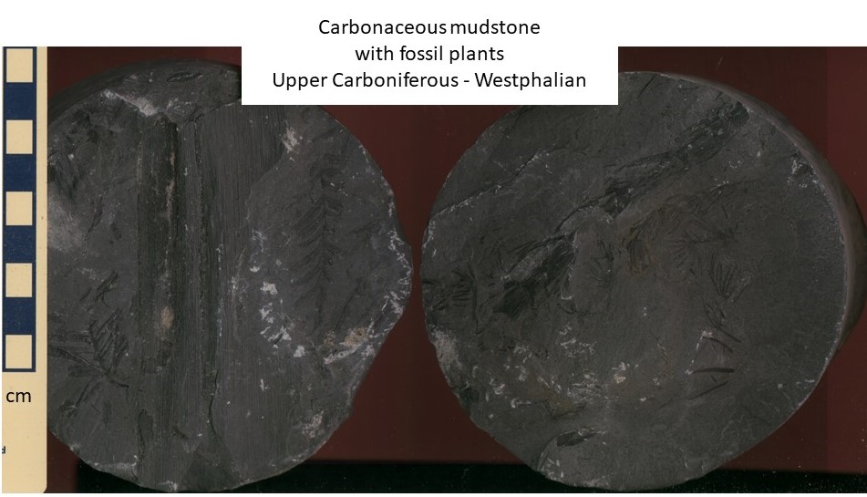
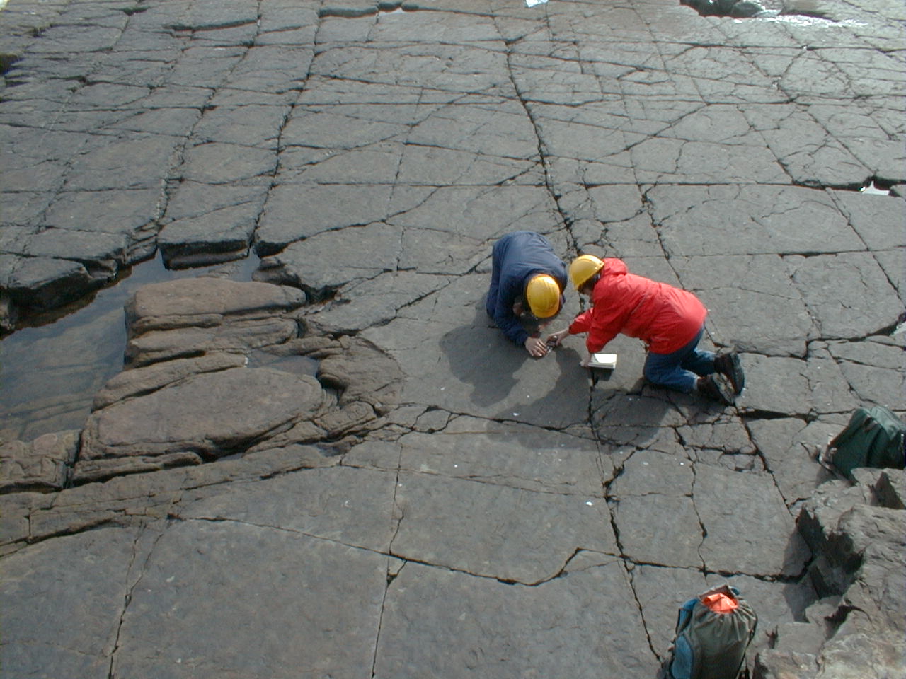
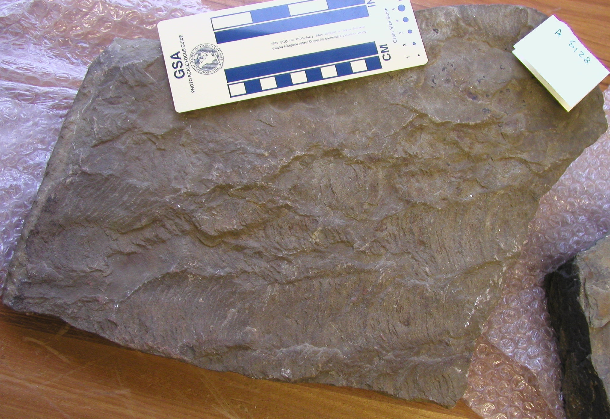
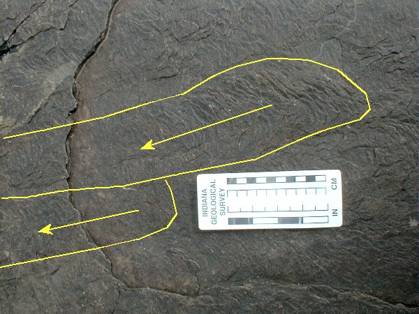
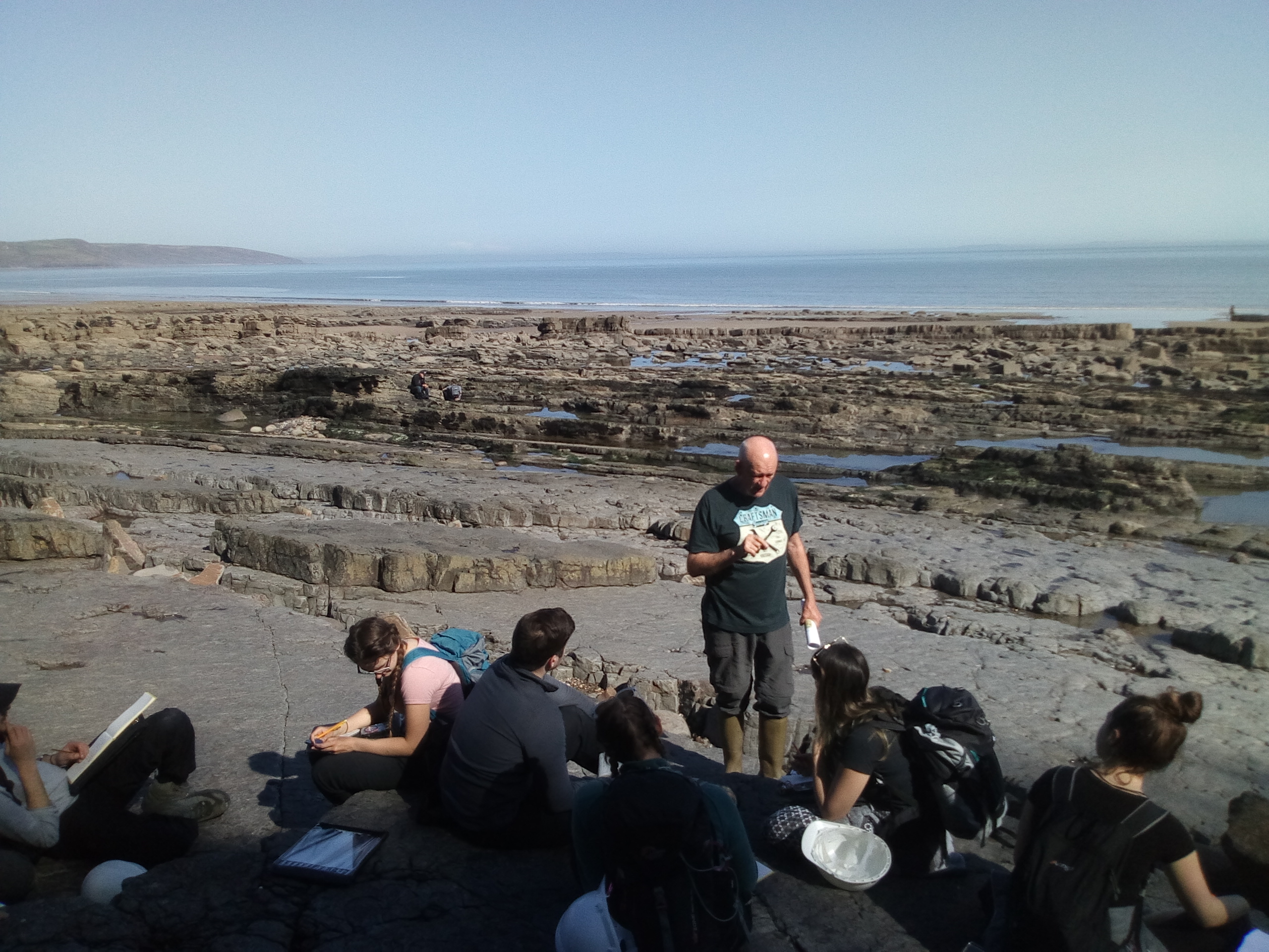
Field evidence
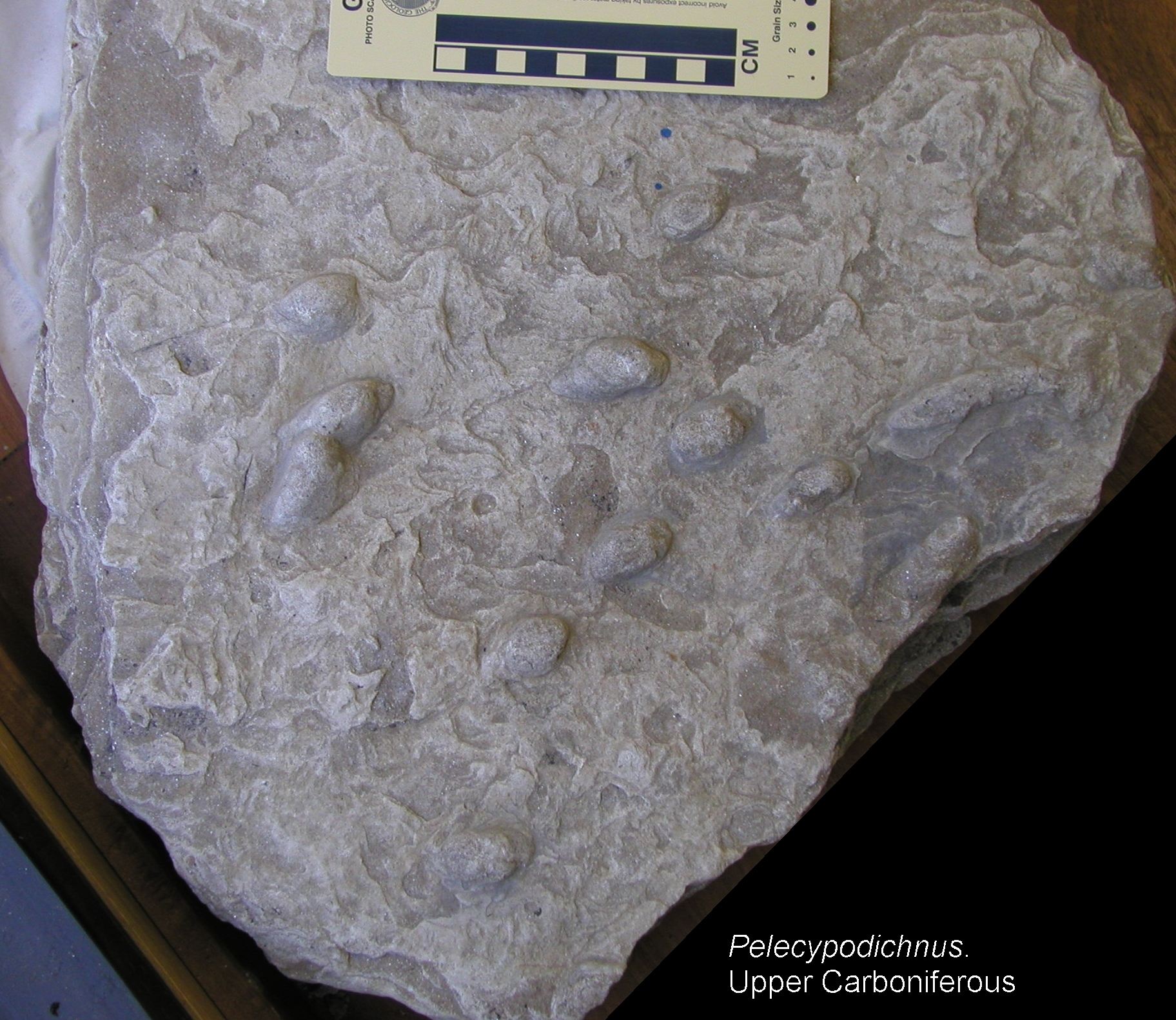
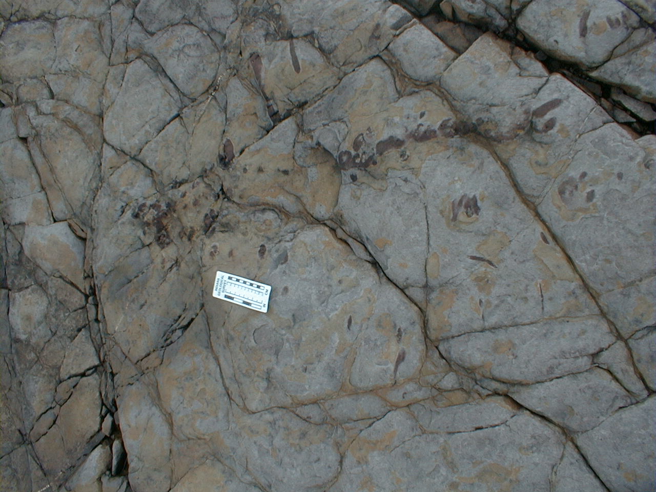
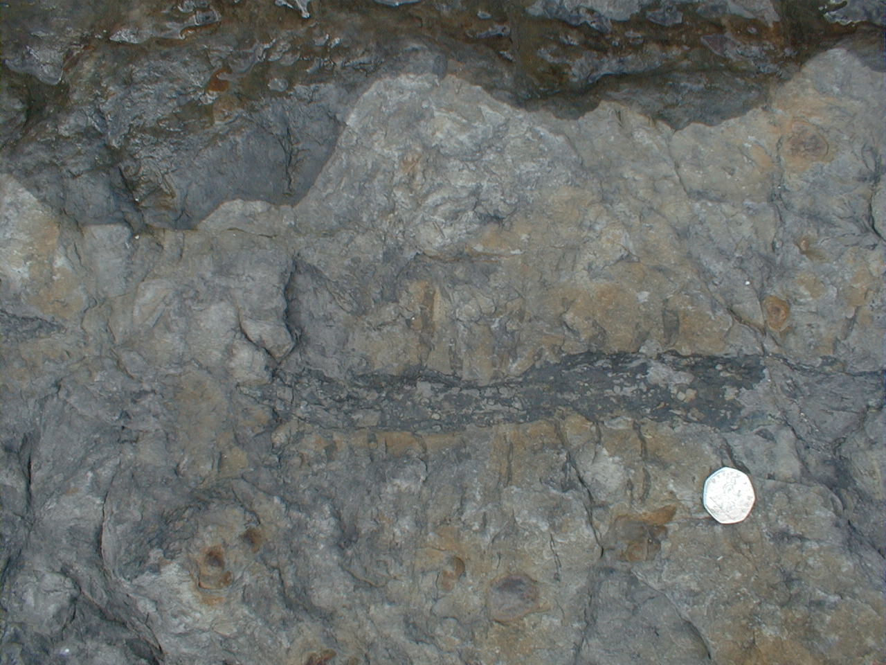
To complete the task at this location, carefully study the photographs below of outcrops and samples. Describe them, and use them as evidence on which to base your interpretations. Pay particular attention to field relationships. Some of the close-up photos are from other nearby sections in the Westphalian of Pembrokeshire.
Take a virtual 3D tour of these outcrops on the eRocK virtual field trip by Adam Cawood and Clare Bond at the University of Aberdeen.
Palaeocurrent data set, measured from rib-and-furrow seen in plan view in
Photos G and I (data collected 1993). Use the palaeocurrent data sheet supplied
in your base maps file. Since the bedding surface dips gently we do not need
to make any recalculations for tectonic dip.
| 066° | 076° | 078° | 077° | 077° | 096° | 066° | 088° | 074° | 080° |
| 085° | 085° | 086° | 098° | 066° | 080° | 074° | 072° | 072° | 064° |
| 066° | 086° |
Plot these data on rose diagram paper. Calculate the vector mean and vector strength, and record these in your virtual notebook. What can we conclude from these results?
Interpretation
Based on all the evidence we've looked at, it's now time for an overall interpretation of the section, in terms of changing processes, conditions and environments through time. What was the overall depositional setting?
Make sure you've completed all the work for this locality. Now we can walk back along the storm beach, get back on the virtual coach and head off to our next stop, a coastal traverse from Marros Sands back to Amroth.
![]()
This page is maintained by Roger Suthren. Last updated 19 May, 2021 2:33 PM . All images © Roger Suthren unless otherwise stated. Images may be re-used for non-commercial purposes.