It is important that you access this field trip on a laptop or desktop PC. Click on any image to enlarge it.
Where are we? Barry Island lies on the Glamorgan coast southwest of Cardiff. Study the area in Google Maps and Streetview.
Barry is a port town, and one of its claims to fame is that it has the second or third highest tidal range in the world - around 15 metres difference between high and low spring tides - because of the funnelling effect of the Bristol Channel. Where in the world would you go to find higher tidal ranges?
Barry has other claims to fame: its pleasure beach, its slightly old-fashioned British seaside resort atmosphere, fish and chips, ice cream, and of course Gavin and Stacey. Barry Island's world class geology is, however, not as well known as it should be. The unconformity here is superbly exposed in 3-D.
Handout: refer to the handout for today, which contains essential diagrams and information. Don't forget to use the information in the Field Guide too. Both are available in Course Resources.
Tasks: See today's handout, which includes a map showing the location of the sections at Points A and B. We are particularly concerned with the nature of the contact between Lower Carboniferous and Upper Triassic rocks, and the sedimentology of the Upper Triassic.
Further reading: these rocks were described in detail in this article by Tucker (1977)
|
|
![]()
Describe what you see in the outcrop photos, and use them as evidence on which to base your interpretations. Pay particular attention to field relationships - contacts between units, how units change as you trace them laterally, etc.
Describe what you see in the outcrop photos, and use them as evidence on which to base your interpretations. Pay particular attention to field relationships - contacts between units, how units change as you trace them laterally, etc.
[The text and images were originally
compiled by Dr Laura McLennan]. At Bendrick Rock, on the coast east of Barry
around grid reference ST144677 Google
Maps, Lower Carboniferous marine limestones are unconformably overlain by
clastic terrestrial sediments of the Upper Triassic, as at Barry Island. Bendrick
Rock geology
The footprints found here were made by several different dinosaurs. The smaller
footprints and tracks are assigned to the ichnogenus Grallator and were
probably made by a small, 1m tall, theropod dinosaur such as Coleophysis,
a small predatory dinosaur that may have hunted in packs.
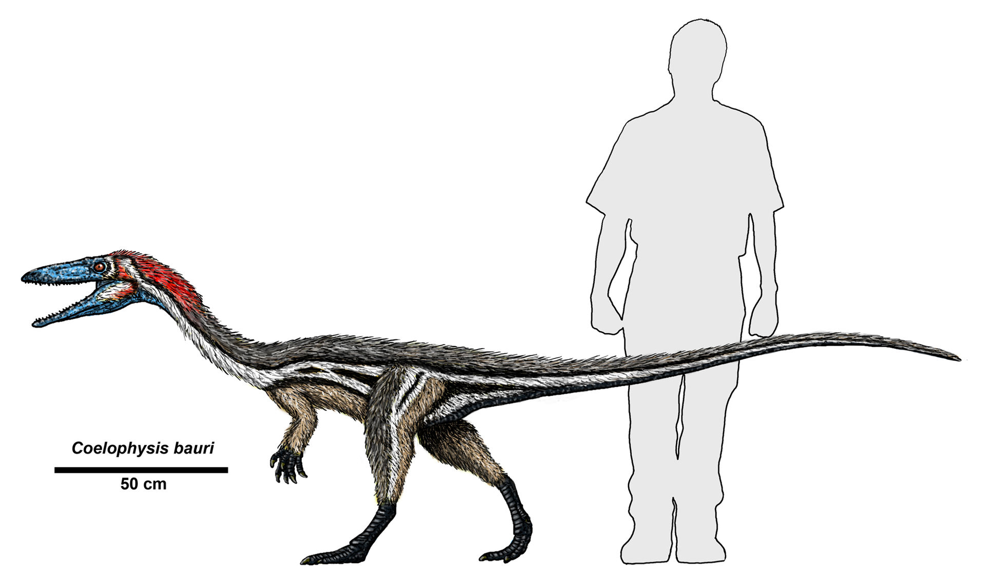 image: Dr. Jeff Martz/NPS via Wikimedia Commons |
||
| Coleophysis footprint and reconstruction of the dinosaur which may have been responsible for these prints. | ||
The larger three toed theropod footprints are rarer and are attributed to the
ichnogenus Anchisauripus.
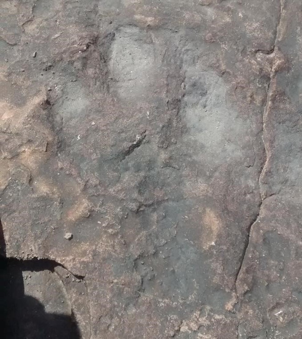 |
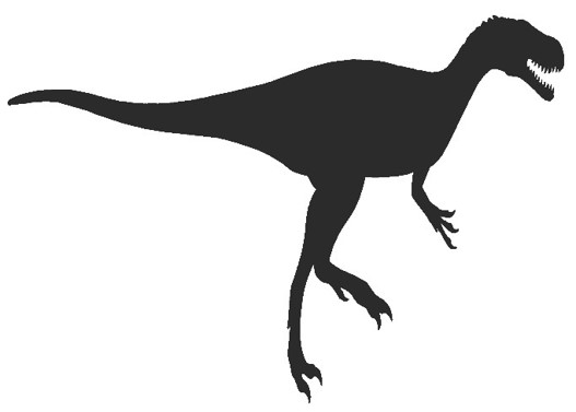 |
| Anchisauripus footprint (photo from Laura McLennan) and reconstruction (Wikimedia) | |
Prints left by large four-toed dinosaurs are also found. These probably belonged
to the ichnogenus Tetrasauripus. They were most likely made by a fairly
large, 7-8m long, herbivorous dinosaur such as Plateosaurus. These dinosaurs
were protosauropods, four legged dinosaurs which were capable of walking on
their hind legs only if required.
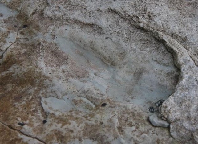 |
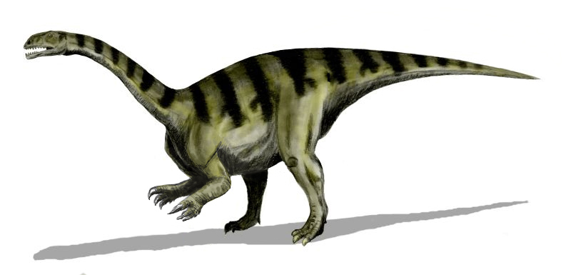 image: Nobu Tamura via Wikimedia Commons |
| Plateosaurus footprint (photo from Laura McLennan) and reconstruction | |
You have now acquired a variety of different types of data on the outcrops at Barry. This includes lithology, sedimentary structures and field relationships seen in photographs and samples. Your task now is to interpret the data, and write a short account in your virtual notebook
![]()
![]()
Make sure you've completed all the work for this locality. That's the last stop for today. Let's meet for today's beach picnic and Q & A session in Blackboard Collaborate at 5pm today (only available if you're a University of Derby student doing this field trip in real time on Wednesday 29 April, 2020!).
![]()
This page is maintained by Roger Suthren. Last updated 29 April, 2020 1:40 PM . All images © Roger Suthren unless otherwise stated. Images may be re-used for non-commercial purposes.