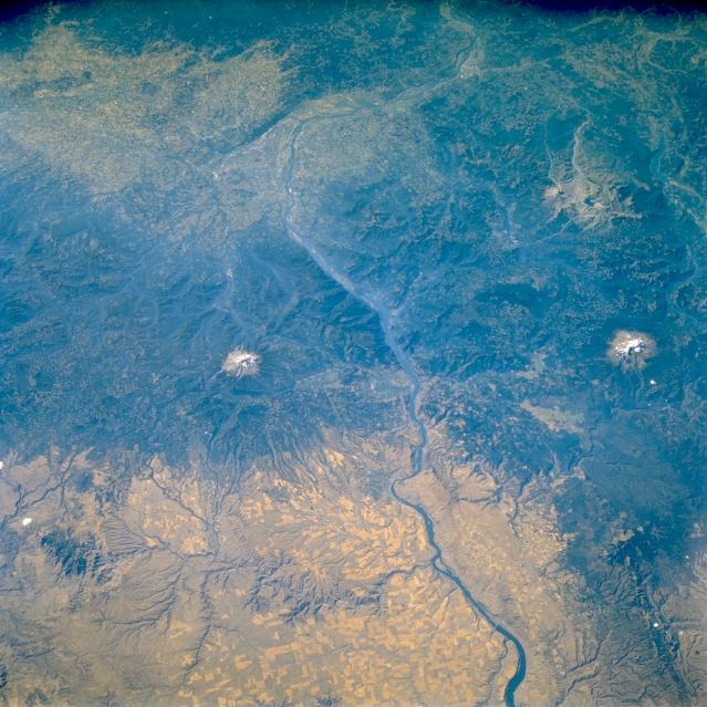
Space shuttle image of Cascades
Range and Columbia River. Credit: NASA Earth
from Space
 |
||
|
Space shuttle image of Cascades
Range and Columbia River. Credit: NASA Earth
from Space
|
 |
||
|
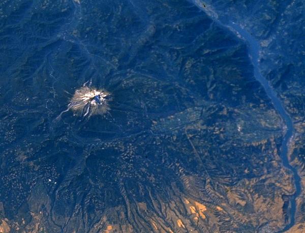
Space shuttle image of Cascades
Range and Columbia River: detail from full-size image. Credit: NASA Earth
from Space
|
In this slightly oblique image taken from the space shuttle, west is at the top. The Columbia River flows from east (bottom) to west (top), and is the border between Oregon (south) and Washington (north) states. Three active volcanoes are visible: Mount Hood to the south (left) of the Columbia River; Mount Adams is the snow-capped peak to the north of the river, and Mount St Helens is to the north of Mount Adams.
Mount Hood is an active andesitic stratovolcano. What are the main volcanic and sedimentary processes on this volcano? Make a list of these before you go to the map below.
 |
||
|
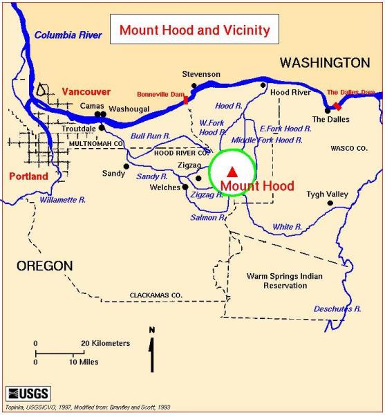
Map of Mount Hood area. Credit:
US Geological Survey, Cascades
Volcano Observatory
|
Once you have analysed the hazards, go to the next page.
Page © ; last updated 30 July, 2002